On the road between Port Hope Simpson and Mary’s Harbour we encountered some more of his cousins. This time it was mother and daughter.
And a short while later we encountered another juvenile. So he’s having fun anyway, meeting up with all of his family and he’s ever so excited about it all. Good old Strawberry Moose
 As for me, I’ve done nothing like as much as I hoped. But then again, I’ve been distracted. For a start I couldn’t get out to see the Wunderstrand.
Although it’s just across the bay from Cartwright, it’s actually a 10-mile walk followed by a 10-minute kayak journey (you need to carry your kayak the 10 miles, by the way), or else it’s half an hour across the bay in a kayak (in a howling wind across freezing cold water) and of course regular readers of these columns know that you couldn’t get warm again. You know that it’s against the law to light a fire in a canoe – you cannot have your kayak and heat it.
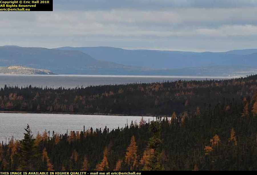 There is however a certain spot to which you can drive and with a long telephoto lens and a little judicious crop and sharpen, you can make out the beach right away in the distance and see just how beautiful it all is.
Of course a photo isn’t the same as actually walking in the footsteps of Eirik the Red at the climax of his magnificent epic voyage to Vinland, but I suppose that it’s the best that I can do
 Anyway, back on the Labrador Coastal Drive (as this bit of the Trans-Labrador Highway is called) the next stop was the most delightfully-named Pinsent’s Arm, a small fishing village on the coast in a sheltered bay off the Atlantic. I always thought that the name was quite romantic.
I had to ask directions when I got to Charlottetown. I hailed a passing native (who picked up a handful of gravel and hailed me back)
“Excuse me – can you tell me where I can find Pinsent’s Arm?”
“Why yes alrighty” she burred (I just love the way they talk in Labrador). “It’s over there in that bucket”.
 Pinsent’s Arm has a population of 64 and they were all on the quayside waiting for me to arrive.
One of the fishing smacks that operates out of here had just put in to port.
“What do you catch here now that the cod has finished? Shrimp like out of Cartwright?” I enquired.
“Why no” he replied. “We get them thar whelks and scallops”.
But if they were whelks and scallops in those baskets they were unloading then I’m going to have my eyes tested as soon as I get back to Europe.
 The natives, obviously wishing to see the back of me, pointed out to me the way through the rubbish dump and local tip to the point where you can see the Atlantic through the cove.
This is quite impressive, and would have been even nicer had I been more lucky with the weather. But it could have been worse – it could have been snowing.
 I also went off down Iceberg Alley for a visit to St Lewis – the farthest easternmost settlement on the mainland American continent.
And if ever I have the luck to be able to choose a place out here to settle it would be here. St Lewis is easily the prettiest place that I have ever visited on the North American continent.
It was settled in the earliest days of white exploration and then forgotten.
 And when it was “rediscovered” in the 19th Century, the person who discovered it (I can’t remember his name just now) remarked on the “industry and divinity” of the inhabitants. I suppose that a couple of hundred years of isolation had had its advantages for the inhabitants.
But all of that changed after World War II
 Its more modern claim to fame, as everyone will tell you, is that it was a station on the DEW line – the Distant Early Warning radar system installed by the Americans on Canadian soil to track and then shoot down the atomically-armed Russian bombers so that the nuclear fallout would be in Canada and not in the USA.
But of course it wasn’t on the DEW line, despite how romantic the legend sounds, as you can tell from the antennae. It was actually a site on Pinetree – the forerunner of the DEW line but which operated on a much shorter-reach traditional radar system and with all the defects of a traditional system.
Once the Russians mastered the art of low-flying, Pinetree’s days were numbered.
 But it’s unfair to single out places like St Lewis and Pinsent’s Arm for their beauty. The whole of this road – the Labrador Coastal Drive – is full of spectacular scenery.
This is, I think, Alexis River near Port Hope Simpson and if there is a more beautiful place to stop and eat my midday butty, I would really love to see it. In fact, the nice lay-by here would be an ideal place to stay for the night, if only I had a camper.
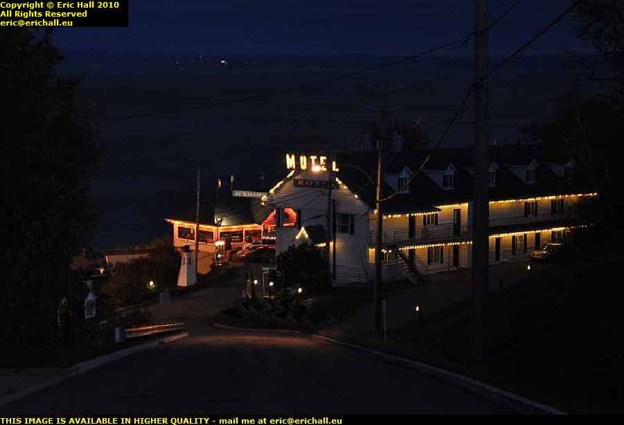
And after that, with me not being halfway around where I wanted to go, and having found some playmates for His Nibs, I’ve had to lay up for the night in Mary’s Harbour (spelt correctly – this is Canada not the USA).