Category Archives: st lawrence

Thursday 18th September 2014 – WHICH FINISHES WITH OUR HERO ALL AT SEA

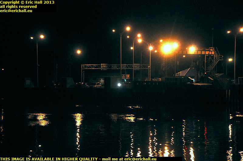
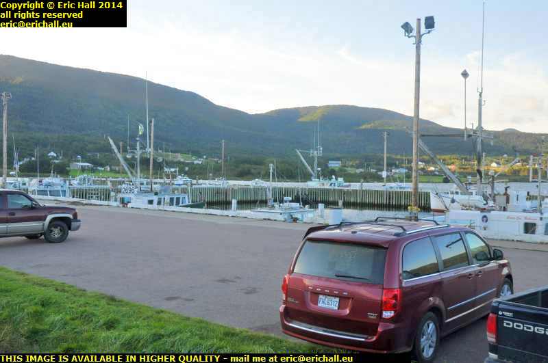
st lawrence harbour cape breton island nova scotia canada september 2014

I was wide awake at about 06:30 this morning, having had another one of the best night’s sleeps that I’ve had for a while. However, leaving my stinking pit was quite another story and it was probably a good hour or so later that I heaved myself out, to make myself a coffee and to finish off the notes from yesterday.

Now that my notes are up-to-date and having taken a couple of photos of my overnight spec, the harbour at St Lawrence and this is another good find with which I am very impressed, I can head for the hills. Or rather, the coast, for my days in the mountains are over for the moment.
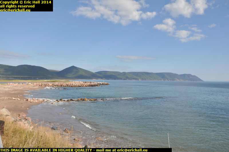
dingwall cape breton island nova scotia canada september 2014Further down ther road there’s a sign here for Dingwall, so Strawberry Moose and Yours Truly decide to go down there to see if Ross County is playing.

In fact the team doesn’t seem to be at home but here’s the view from the end of the road and it’s magnificent as usual. Just like most places along the coast here at the nothern end of Cape Breton Island.
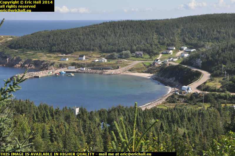
white point cape breton island nova scotia canada september 2014I find the Coastal Loop a little later, and this takes me to White Point.

There’s a camper just gone past me down there that’s from the same company as the one with which I was playing leap-frog along the Trans Canada Highway on Monday. It isn’t the same one though, because when I arrived at the bottom of the hill I had quite a lengthy chat with the couple. They were from the UK and they’ve been on a long exploratory voyage on trains planes and campers all over Canada and were on their way back from Newfoundland.

And the weather, out of the wind, is absolutely gorgeous. The sun is beating down and there’s a perfect blue sky. What more could any man desire? Apart from Jenny Agutter and Kate Bush of course, to sooth my fevered brow.

cape breton island nova scotia canada september 2014That’s the view from Lakies Head whoever Lakie was when he was at home, if he ever was. And at this scenic turn-off (why don’t they ever have scenic turn-ons? It’s much more appropriate) there was a Park Ranger standing behind a sign saying “chat to me”. And so I did. As if I ever need any invitation …

And just a few hundred yards further on from here I was overwhelmed by the smell of damp seaweed. I haven’t smelt it quite as strong as I have just here so I don’t know what’s going on about that.
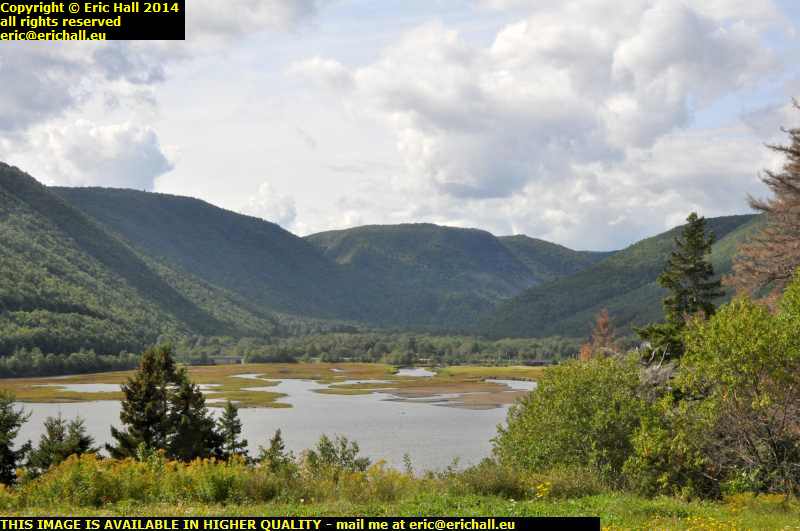
aspy fault cape breton island nova scotia canada september 2014At Ingonish Harbour, not the harbour at Ingonish, that’s somewhere completely different, we’re back at the mouth of the Aspy Fault, the faultline that links up with the Great Glen in Scotland.

Here’s probably the best view of the fault line, the cleft between the mountains that stretches right into the interior of Cape Breton Island and maybe even far beyond. It’s quite astonishing that this fault line stretches all the way to Scotland and that these two land masses might even have been connected in the dawn of time.


Many years ago I read an ancient travel book which described inter alia someone’s nightmare drive over the desperate road over Cape Smoky. While it’s certainly exciting, I wouldn’t say that it was terrifying, but these days, the road around the Cape is hacked out of the cliff face.
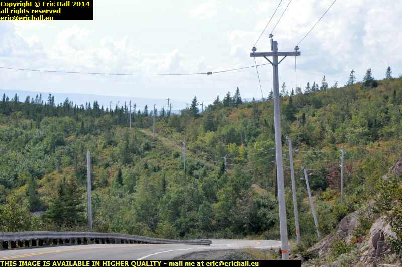
old road over Cape Smoky cape breton island nova scotia canada september 2014Here, where the modern road is about to swing round to the left to descend one of the steepest parts of the trail, a section that has been hacked out of the cliff, we can see what may well have been the old road straight ahead continuing to climb into the mountains.

The descent on the new road is stiff, as I said, and if this is climbing away from here, then the descent on the other side must have been phenomenal, at least twice as steep as the modern road. It’s hardly surprising therefore that people became so worked up whenever the road over Cape Smoky was mentioned

descent modern road cape smoky cape breton island nova scotia canada september 2014If you want to see what the modern descent is like, we can travel maybe half a mile to a pull-in and if we peer through the haze that’s rolling in off the sea, you might be able to see it.

It just goes down and down and down and down and down and down and down and down, all the way to sea level right down there.

From the bottom of the hill I’m caught in a whole series of road works all the way to Sydney. One after the other and it takes hours to arrive in the town. At the shipping company offices I do the necessary and then go for a wander around to stock up with supplies.
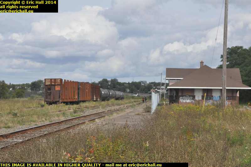
abandoned railway station north sydney cape breton island nova scotia canada september 2014But here’s a sad legacy of the railway here at the port. Many years ago there was a rail ferry over to Newfoundland from here but the entire railway system in Newfoundland was demolished in this ruthless Canadian Government anti-rail programme – there’s not an inch of Government track left in the province – and the rilway network here is abandoned too.

Here’s a very sad-looking former railway station at North Sydney and the rails from beyond here down to the port have been lifted.

So now I’ve had a leisurely evening and I’m taking my place in the queue at the port for the next stage of my journey.

Friday 4th October 2013 – HERE AS PROMISED …

lake champlain bridge new york vermont usa… is a photo of the view from my “bedroom” window from last night. It is of course the new Champlain Bridge across the lake of that name between New York and Vermont, and it’s pretty spectacular too, especially when I remember that I have a tripod in the Dodge and so I can use a long exposure.

I can’t think of many better sights to see as I settle down for the night, apart from the lighthouse from the beginning of May 2012, but that of course was something special.

Last night though, there was no-one on duty at the camp site, which was not unexpected, and neither was the note “if there’s no-one on duty when you arrive, find a vacant space and check in at 08:00”. What was however unexpected was that when I got fed up of waiting and hit the road, it was 09:44 and there was still no-one about.

I also had an encounter with yet another dissident today. The USA seems to be crawling with them but, as I have said before, they only seem comfortable expressing their dissent with foreigners such as Yours Truly. It really is just like the old Soviet Union back in the USA just now. I was not joking.

derelict restored railway locomotive ALCO RS18 Lake Champlain Moriah Railroad Port Henry New York USAI don’t travel far, though. Just to Port Henry where I encounter what is rather laughingly called a “preserved locomotive”. Port Henry was formerly a steel town, due to the fact that there was an iron ore mine in the interior, and between the port and the mine ran a railway line, the Lake Champlain and Moriah Railroad. It all closed down in the 70s but some of the rolling stock has been “preserved” and a redundant ALCO RS18 was donatrd by the Canadian Pacific.

Why I’m treating the “restoration” with total derision is because it consisted simply if walloping a few buckets of thick black paint all over everywhere just like the “Big Boy” in Cheyenne, Wyoming, and the result is just the same. Red streaks of rust everywhere where the paint has been worn away, and the rust trailing down all over the rest of the equipment giving it all an air of total dereliction, which is exactly what it is.

lake champlain ferry new york vermont usaHere’s no surprise. Yours truly is on a ferry. It’s always a bad idea for me to go near a ferry, because every time I see one it makes me cross. This is one of the ones across Lake Champlain between New York State and Vermont that was not done away with when the Champlain Bridge was opened and you may well be surprised to learn that after more than 5 weeks on the North American continent, this is the first ferry that I have taken.

Not like me at all, you might think, but then I have had many preoccupations this year and have not been my own master as far as things like that go.

rouse's point new york usaThe Vermont side of Lake Champlain brought me over a series of bridges back into New York and a small one-horse town called Rouse’s Point.

Students of Civil War might well be forgiven that Rouse’s Point was the largest town in the whole of the Union States, given the number of enlistments from there in the latter stages of the Civil War. The statistics are certainly impressive. However, that is only a small part of a very long story. Rouse’s Point is the town closest to the Canadian Border for Quebeckers, and in the latter stages of the war, the Union paid quite a substantial bounty to civilians who joined up to bolster the army for Grant’s Overland Campaign in Virginia in 1864 and 1865.

Thousands joined up from Rouse’s Point but probably not even one-tenth were actually from the town. All of the rest were Canadians from Québec who discreetly crossed the border into the town, signed up, did their training, received their bounty, and then promptly deserted. And there is considerable evidence to suggest that the same person enlisted in three or even more
regiments in order to receive three or more bounties. The enrolment books of many a New York, Vermont and Maine regiment have an entry “Rouse’s Point Bounty Jumper” against a name.

st lawrence ferry sorel st ignace quebec canadaFrom Rouse’s Point it’s a mere cockstride back into Canada and along the Richelieu Valley to Sorel on the St Lawrence. And here the second ferry of the day (and second of the holiday) takes me across the river to the north bank and the town of St Ignace.

Onto the Highway at the back of the town and off to the Service Area near Lavaltrie. I spent my first night “on the road” here, and it’s fitting that i’ll be spending my last night here, because it really is my last night in North America for 2013 and that thought fills me with total sadness.

Wednesday 4th September 2013 – NOT MUCH TO SAY …

… today, people … "hooray!" – ed … as I’ve been doing my Jack Kerouac impressions – I’m On The Road.

pont pierre laporte suspension bridge quebecI’ve not had time to go to search for a ferry to take me across the St Lawrence unfortunately but in keeping with my project of always trying to cross the river by a different route each time, I took to the Pont Pierre Laporte, the Pieere Laporte suspension bridge. That bridge would ordinarily merit a report of its own, being the longest suspension bridge in Canada, but here it’s dwarfed by the magnificent Pont de Quebec, a huge cantilever bridge like the Forth Bridge. You can read all about this bridge here if you like.

The shape of the southern border of Quebec is bizarre – decided by a Dutch arbitrator in 1848 and so if you want to travel south you first have to trave (a considerable way) north-east if you don’t want to set foot in Great Satan. That gives me ample chance to follow the southern shore of the St Lawrence – not my favourite of course as it’s far too urban and civilised, but at least it’s water.

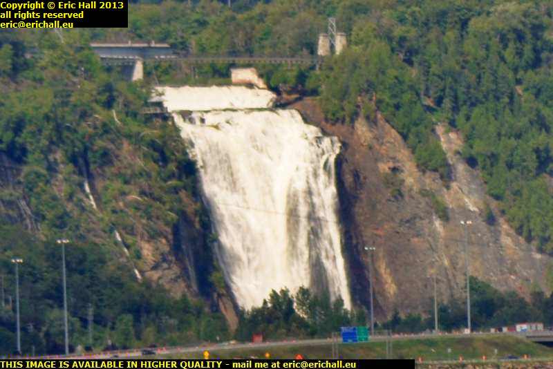
falls of montmorency beauport quebecAcross the river in Lévis (pronounced Layvee, not Levi’s) there’s a stunning view of the Falls of Montmorency. They are higher than the Niagara Falls, as it happens but not as spectacular and while you can park a car and a thousand people inside it for just $5:00 and wander about to your heart’s content at Niagara for no further charge, here, to even stop your car to admire the falls costs you a whopping $12:00.

Having been threatened with arrest by a civilian in charge (you can see, with all the “no parking” signs on the public highway all around the best views of the place just how much the Canadian authorities are co-operating in this farce, and this official’s comment merely confirms it) after I told him to **** off when he wanted me to remove my car from the public highway back in 2010. another one of my missions in Canada is to find all of the best specs for you to see the Falls for nothing

Many people don’t realise this but General de Gaulle’s imfamous “Vive Québec Libre” speech was not a political statement. He was simply expressing his disgust at having been stuck for a whopping great sum of money when he went to visit the Falls of Montmorency.

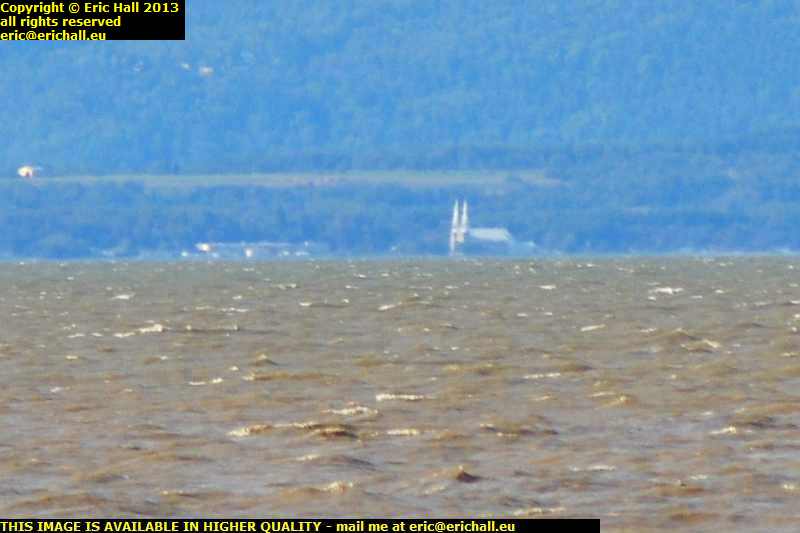
baie st paul st lawrence charlevoix quebecNevertheless, the way that things are panning out right now, I’m not going to have my annual pilgrimage to the Charlevoix, which many of you know as my spiritual home and the most beautiful place on earth. Nevertheless, from a bluff overlooking the river and by judicious use of the 300mm telephoto lens (excuse the blurring – there was so much wind that it blew down the tripod) I could see the twin towers of the town of Baie St Paul, about 15 miles or more away across the river.

Yes, I shall have to have my pleasure of the Charlevoix and the north bank of the St Lawrence vicariously this year, which is a shame. As for you, if you start at this page
and follow on from there, you can read all about the Charlevoix as far as I’ve progressed with my notes from last year

Anyway, I’m now esconsed in na habitual spot for me – in the marshes along the Riviere des Vases St Lawrence just east of Rivière du Loup. You’ve all seen this place before so I won’t bore you with it again but it’s the place where they gathered eel grass for use as stuffing in car seats back in the early days of motoring, and you can still see the ruins of the old quayside where the loaded barges left for their journey to Detroit

Tuesday 29th May 2012 – ALL ALONG THE WATCHT … errrr … ST LAWRENCE

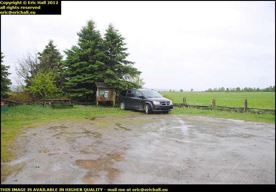
sentier des roitelets riviere des vases quebec canadaI’ll remember this spot again, that’s for sure. I’m at the parking for the Sentier des Roitelets right by the Riviere des Vases on the shore of the St Lawrence River.

Hidden in here behind the hedge I was out like a light and didn’t feel a thing until the dawn.Even the rainstorm didn’t awaken me. And this is the first time since we’ve had rain – on the way to Harrington Harbour several weeks ago, I reckon.

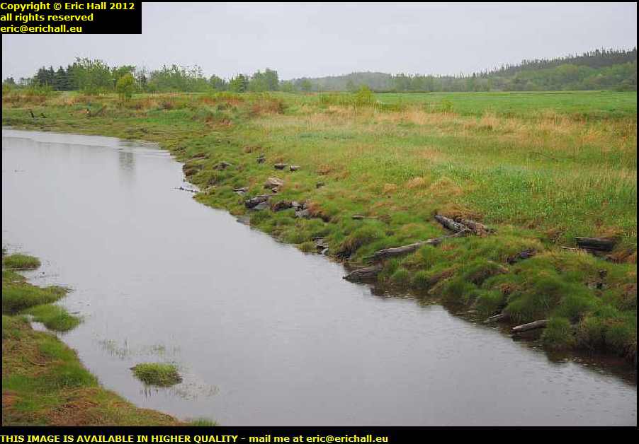
riviere des vases quebec canadaDo you see the remains of a wooden quay just here?

This area was comparatively well-populated 100 years ago. The eel-grass that grows along here has a special quality that makes it spring back into shape after it has been compressed by a weight and so was in great demand for car seats.

Families lived here and harvested the grass, and ships used to come from Detroit to pick it up and take it to the car factories. But a change in manufacturing technique rendered it obsolete when a substitute was found and by 1934 the industry had collapsed and everyone had moved away.

noel au chateau riviere du loup quebec canadaI’d been out to look at the ferry terminal at Riviere du Loup (where I’d landed on my first trip over here) and on the way back into town, I encountered this building.

It’s the Noel au Chateau, a bit of the “Neuschwanstein Castle” transported to the wilds of Canada, built in 1971 and now used as an exhibition centre and a small amusement park out here. It’s certainly different.

Church of St Patrice riviere du loup quebec canadaI’d been through here before on my first trip but I didn’t stop to photograph the town. Now’s the time to put that right.

This is the Church of St Patrice, the building of which started in 1855 but due to a lack of funds, wasn’t completed until 1883. The church then almost immediately caught fire and burnt down, just like everything else in Eastern Canada.

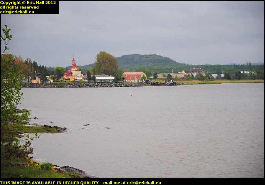
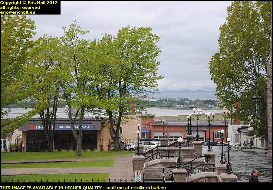
harbour riviere du loup quebec canadafrom up here on the steps of the church there’s a splendid view of the harbour. It’s a shame that there isn’t a ship coming in or going out, to add something to the photograph.

But over there on the far shore is the Noel au Chateau, where I had been just now.

Beyond there is the Charlevoix but there’s little chance of seeing that today with the low cloud that’s hovering over the St Lawrence.

catholic youth labour organisation united states consulate riviere du loup quebec canadaThat building just there is the headquarters of the Riviere du Loup Catholic Youth Labour Organisation, but its claim to fame dates from a good while before then.

In fact, between 1928 and 1931 it was the office of the United States Consulate. And that, of course, begs the question “how substantial was the United States presence in this area if it necessitated the presence of the United States Consulate?”

highway 132 st lawrence river quebec canadaThe road that runs along the southern shore of the St Lawrence, Highway 132, is called the Route des Navigateurs, the “Road of the Navigators”.

Whilst it’s nothing like as attractive as Highway 138 on the north shore, it does have its moments here and there such as just here with the beautiful cliffs in the background. If it takes me through places like this, I shan’t be complaining too much.

agricultural land st lawrence river south shore quebec canadaThere’s another difference between the southern shore and the northern shore, and that’s related to the land use.

Whilst the northern shore is rocky and concentrates mostly on forestry products and tourism, the flood plain here on the southern shore is very fertile and there’s a considerable amount of agriculture here. You can tell just how much by the number of silos that you can see in this photograph.

original site of kamouraska quebec canadaThis is the original site of the town of Kamouraska, settled between 1696 and 1791.

During that period, it was the civil and religious centre of the south shore of the St Lawrence east of Riviere-Ouelle. There were two churches here, and there were over 1300 burials in the cemetery. No individual graves seem to be recorded but there are these commemorative tablets listing the inhabitants of the cemetery grouped by family name.

Apart from several anonymes, we have a few tablets for Innu, Malicetes and so on, as well as un homme noir nommé Pierre – “a black man called Pierre”.

church riviere ouelle quebec canadaThis is the church of the town of Riviere-Ouelle.

This small town of about 1,000 inhabitants is a very sad relic of what was at one time the most important town on this part of the southern shore of the St Lawrence. 150-odd years ago there were over 4,000 inhabitants.

old harbour river wall riviere ouelle quebec canadaThanks to the railway line that was here, it was a vibrant port on the St Lawrence and the terminus of an important ferry that called at several places on the north shore.

It does have a modern claim to fame in that there’s a bar laitiere, an ice cream parlour, on the edge of town that serves the most delicious vegan ice cream that I have ever tasted, although not today in this weather.

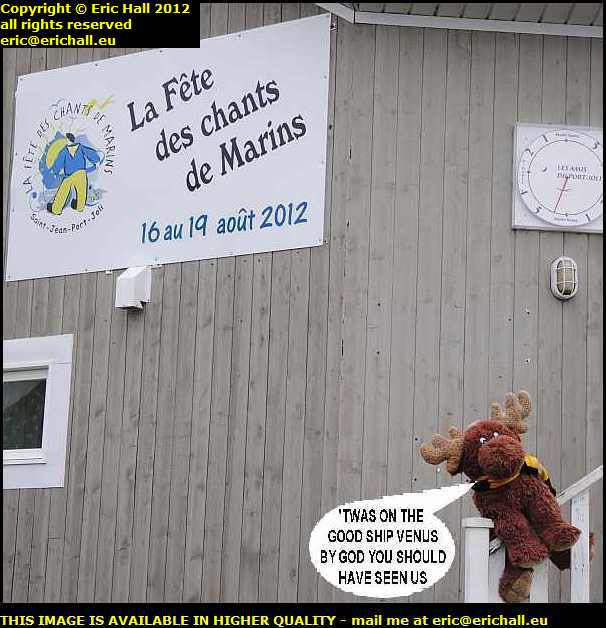
annual festival of sea shanties strawberry moose saint jean port joli festival of sea shanties quebec canadaOne thing for which the town of Saint-Jean-Port-Joli is famous is for the annual Festival of Sea Shanties.

It goes without saying that Strawberry Moose fancies himself as an entrant after his antics in the baggage hold of the aeroplane on the way over.

This is something that takes place every August and so he was quite keen to know my travel plans for late summer this year.

And when I informed him that it might be a possibility, he spent a happy half-an-hour practising while I wandered off to take a few photographs of the area.

church de saint jean port joli quebec canadaWhilst you admire the church, which dates from 1779 and is famous for its collection of sculptures, let me tell you that Saint-Jean-Port-Joli is one of the oldest settlements on this part of the St Lawrence.

It dates from about 1677, although you won’t find much dating to before 1759 as the village was burned by General Wolfe’s Fraser Highlanders during the invasion of 1759

windmill saint jean port joli quebec canadaThese days it’s a very important tourist destination with the Sea Shanty Fesitval of course, and also the marina and an annual symposium of wood sculpture. In fact, several wood sculptors have chosen the town as their home venue

It also has a windmill. All seigneurs were obliged to provide a corn mill for their habitants and whilst many were water powered, some were powered by the wind. This one, one of the few surviving windmills, won’t be doing all that much until they cut down the tree that is in front of it, shading it from the wind.

levis ship st lawrence river quebec canadaMy road takes me into the town of Levis and whilst I’m stopped on the old quayside overlooking the St Lawrence River and the city of Quebec to eat my butty, this beauty goes steaming past my parking space, steaming underneath the skyscrapers.

I’ve seen a couple of ships on the river, but this one is my candidate for today’s “Ship of the Day”, even if she is badly in need of a good coat or two of paint.

st ignace sorel st lawrence ferry quebec canadaThere’s another candidate for “Ship of the Day” right out there down the river.

I have a good view of it steaming – or rather, dieseling – towards me, and that’s because I’m right in the middle of the river. I’m on the ferry that goes across the St Lawrence from Sorel-Tracy to St Ignace. I saw this on my way out and this was the way that I decided to come back. I hadn’t crossed over here before.

From here I drove back down the Chemin du Roy to Repentigny where I have a motel organised for tonight. This is a road that I know very well and I’ve travelled along it dozens of times. You can read all about my adventures along here over the years by following this link but you need to go backwards if you know what I mean.

Back at the motel I washed and cleaned all of the crockery and cutlery and made sure that everything else was clean. And then I packed it away ready to put it into store tomorrow.

I don’t want to go home

Monday 28th May 2012 – DOWN TO THE RIVER

It’s Monday today – time I was heading for the hills.

Consequently I went round to the tyre depot to say goodbye to everyone, and then I set off northwards.

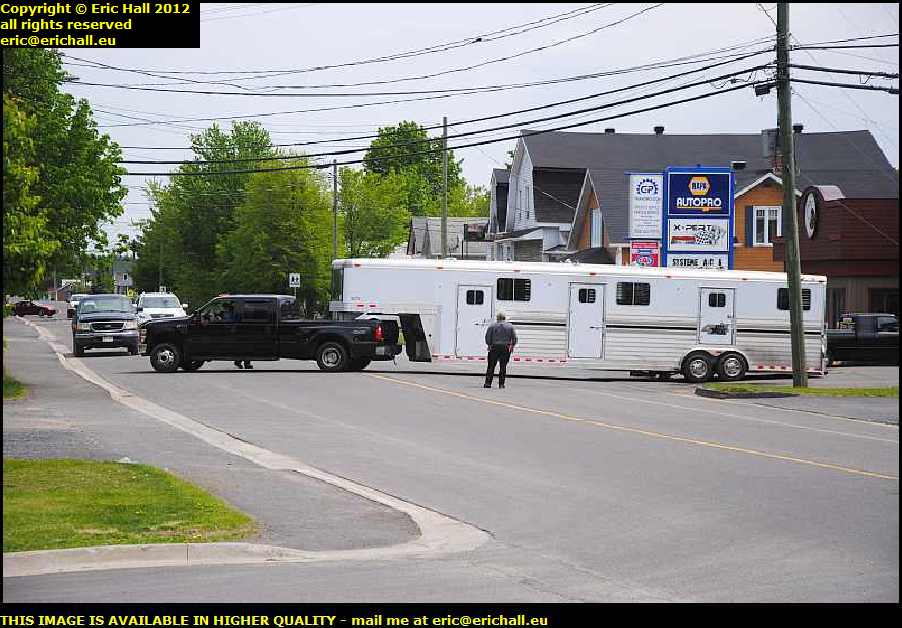
wheel comes off trailer st basile new brunswick canadaThe first bit of excitement today occurs at St Basile.

It looks as if that pickup has pushed that trailer into the tyre place here at St Basile to have a tyre fitted or something, and as it’s drawn away from the depot, a wheel has come off and gone hurtling across the yard.

They are going to be there for a little while while they sort all of that out.

edmundston new brunswick canadaOn the outskirts of Edmundston is a big Ford garage, and there on the front they had a Ranger 4×4, black, 2000, extended cab.

It was a bit tatty, painted over rust and that kind of thing with a few new bits recently fitted, like a drivers side rear spring hanger rear mount. Sold as seen, they wanted $5900 which is flaming extortionate if you ask me.

Nevertheless I approached a salesman and he came over with the keys. And as you might expect, the Ranger had a flat battery and so he couldn’t start it up. And so he went to fetch the battery pack and it wouldn’t start with that.

His response to all of that was “il ne start pas” (he really did say that!), baissé’d his bras’es and wandered away from the scene.

So what is all of this for a garage? Cars on the forecourt at that kind of price and not only can they not start them up to show to an interested customer, they couldn’t even be bothered to make an effort. It’s a fine advertisement for a garage, that it.

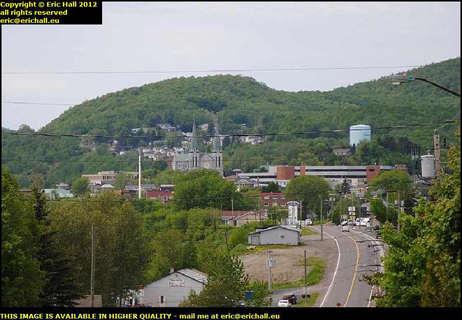
degelis quebec canadaWhen I came by here in 2011 I somehow managed to miss out on visiting the town of Degelis, up in the foothills of the Appalachian Mountains just over the Quebec border.

I needed to put that right, and so here I am, even if I don’t have a great deal of time to be diverted from my mission. This is the view of the town from the hill towards the north end of the town.

“Dégelis” in old French means that it never freezezs, and this is a reference to the volume and force of the local water which creates too much friction for the river to freeze over.

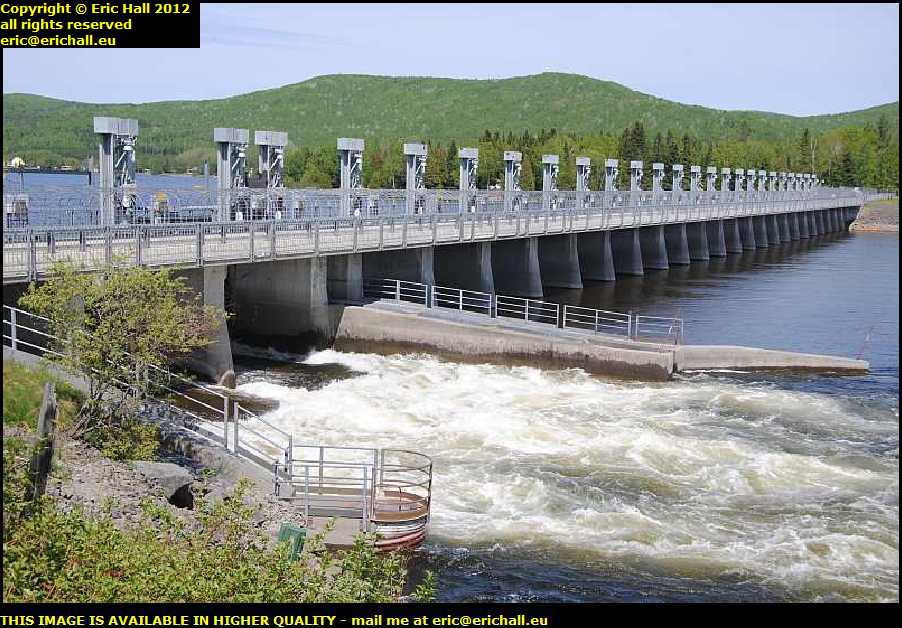
barrage de temiscouata quebec canadaAnd when you see a street called “chemin du barrage”, you know that there’s going to be a dam and hydro-electric turbine somewhere in the vicinity.

The road down to there follows the track of the old Temiscouata Railway that we encountered at Cabano in 2011, and this takes me after a couple of miles to the barrage and turbine. It’s a nice place to go for a wander, and also to eat my butty.

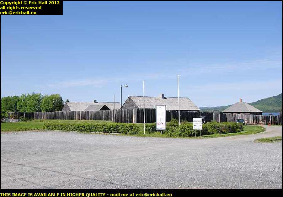
fort ingall cabano quebec canadaI drove through Cabano and out the other side and went to visit Fort Ingall, something else that I didn’t manage to see in 2011.

This is a reconstruction of a fort, built in 1839, after excavations in the 1960s had revealed its exact layout. Back in those days, the USA claimed all of the land up as far as the lake here and the British were having none of that – hence the area was quite heavily garrisoned.

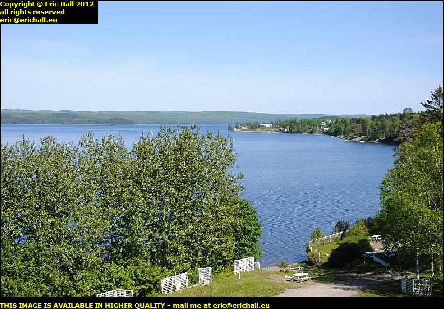
fort ingall lake temiscouata cabano quebec canadaYou can see the attraction of fortifying this particular area. Not only is this the site of the main portage between the St Lawrence and the Saint John watersheddings, the view down the lake from the roof of the watchtower is stunning.

Any group of people fortifying this spot not only would control the portage, but would control the water traffic travelling up and down the lake and thus cut off all of the communications and trade between Lower Canada and the Maritime Provinces.

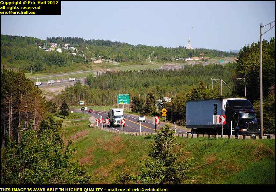
heavy traffic trans canada highway quebec canadaAfter much binding in the marsh, my road takes me back to the Trans-Canada Highway over the Appalachians.

When you look at all of these lorries coming along here from Halifax and Saint John, it really does make you think about the people in charge of the Témiscouata Railway who couldn’t make the railway line pay back in the 1980s.

Put the loads of just a quarter of these lorries onto the rails, powered by the electricity created by the hydro plants along the line, and not only would you have a thriving railway line, you would also have a great deal less pollution and environmental scarring of the landscape.

And the way that oil prices are going and all of the electricity that Canada can create, Canada will come to regret slashing its rail network to shreds.

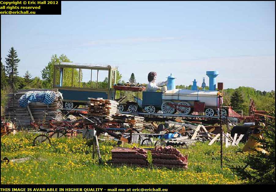
junk yard aladdin's cave quebec canadaRegular readers of this rubbish will recall the yard of Les Oakes in Cheadle, Staffordshire. I always thought of that place being unique in the world,and so I was astonished to find the same place here in Quebec.

It’s another old guy who travels the country looking for “exhibits” to collect and restore, just like Les Oakes, and he took the trouble to show me around.

I was speechless (which doesn’t happen all that often, does it?) and I made a note of the address so that I can come back here again to scavenge stuff for my property.

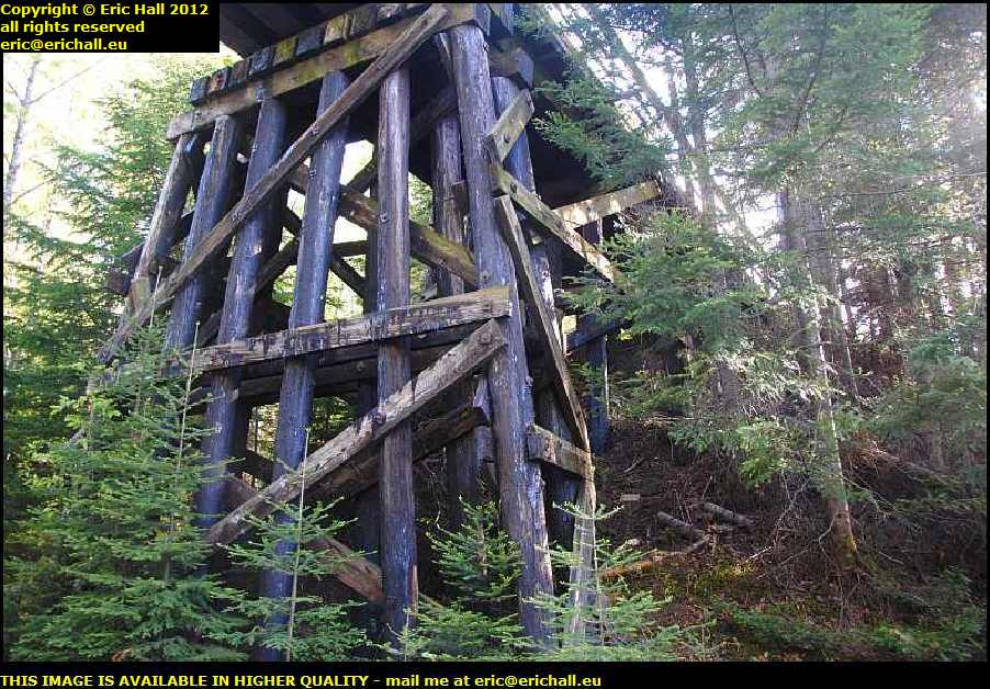
wooden trestle bridge quebec canadaOooohhhhhh!!! Look what I have found!!!

At one time, the entire railway network of North America was built on wooden trestle bridges and viaducts but little by little, they have been replaced. You will have to look long and hard to find one that survived.

And here we are, in the Appalachians on an old dirt-track road and the trackbed of the old Temiscouata Railway passes overhead on a trestle bridge. This has cheered me up considerably.

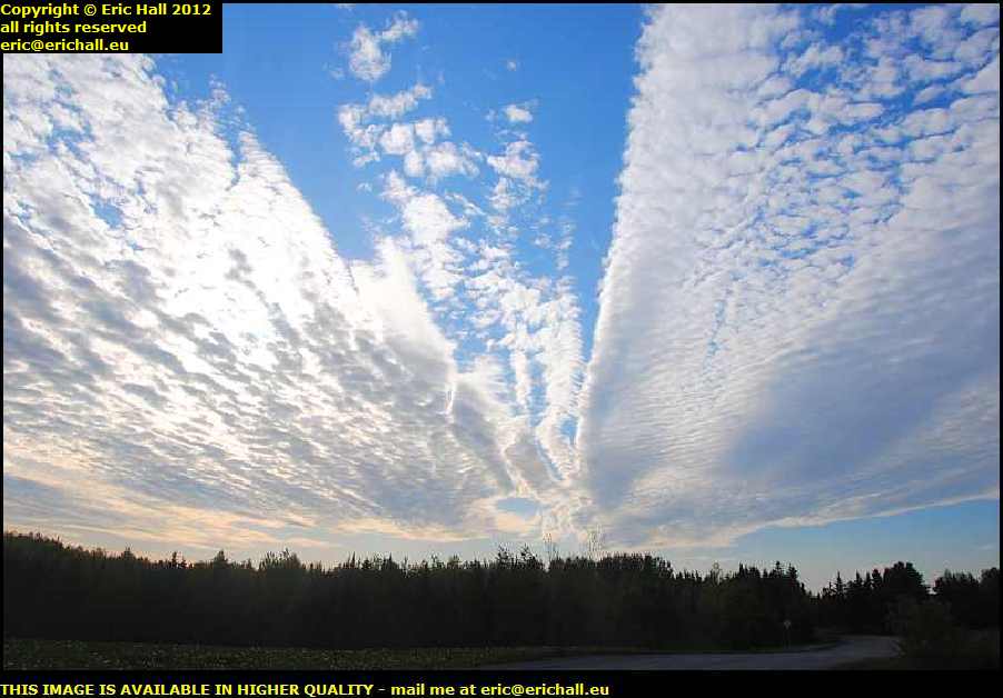
stunning cloud formations quebec canadaMy route to the river is going over some impressive roads, thanks to The Lady Who Lives In The SatNav.

But it’s not just the roads that are impressive, it’s the weather, and in particular, the cloud formations. This is one of the most stunning cloud formations that I’ve ever seen, Spanish Plumes not excluded.

And you’ll notice that the light is now slowly starting to go. I need to put my foot down.

st lawrence river riviere du loup quebec canadaAt last I encounter the St Lawrence River – right down there between the towns of Riviere du Loup and Trois Pistoles, as taken from a ridge just outside the town of St Paul de la Croix.

Once I hit the shore, I’ll be looking for a place to stay the night and then head to Montreal. This will be my last night of sleeping in the Dodge as tomorrow night I’ll be in a motel so that I can properly wash all of my crockery and cutlery before I file them away in my storage locker until next time.

I can’t wait to come back.