 … isolation of my litle spec on the edge of the marshes I was having the best night’s sleep that I had had for quite some time.
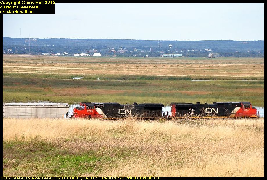
However, as I have said before, one of the things that you need to do when you arrive somewhere to stay for the night in North America is to check the immediate area for railway lines, and I forgot to do that yesterday, didn’t I?
This isn’t the train that woke me up of course, but it is one that is very much like it, shuddering, clanking and blowing just about 100 yards away from my quiet little spec
 When I did finally heave myself out of my stinking pit this morning, this is the beautiful view that greeted me. I’m shrouded in a fog rolling in off the head of the Bay of Fundy, something that many Ancient Mariners would tell you all about.
I’m shrouded in condensation too inside the truck cap – or at least, the truck cap is. I’m going to have to do something about this in the long term because as the weather cools down even more, the condensation will become worse and worse
I’ve had a little play around inside the back of Strider too and I’ve made piles of extra room. I can actually move around in there now, as well as unfold my chair and sit down. What with that and my little fold-up table, I’m really comfortable in there now. Next trick is going to be a solar panel on the roof and a battery inside so that I can run some lights in there and a little inverter to power a couple of things like my slow cooker.
I still have a couple of plans about the bed too and I shall put them into practice given a nice afternoon and a quiet spot in which to work.
 That’s Strider way down there, in the spot where I parked for the night. And beyond it is the head of the Bay of Fundy. I’m actually standing on the ramparts of Fort Beausejour and you can see why the French chose this site for the building of their fort.
We’re on the southern shore of the narrowest part of the isthmus of Chignecto, on the edge of the Tantramar Marshes – and you may remember if you were with us on our voyage in October 2010 we went to Fort Gaspereaux, on the northern shore of the isthmus.
 Fort Beausejour was built in 1750 under the orders of the French Governor the Marquis de la Jonquière, and with these two forts, the French could bottle up the isthmus.
Nothing could pass by here without the French knowing about it and so quite naturally they became prime targets for the British Army during the mid-18th Century. The British under Robert Monckton laid seige to Fort Beausejour in June 1755 and it fell after 13 days. Fort Gaspereaux fell a couple of days later and that was the end of French rule in Acadia.
 The British had built a fort – Fort Lawrence – in Nova Scotia across the marshes from Fort Beausejour in order to put pressure on the French fort.
The fort didn’t last very long – the British preferred to occupy Fort Beausejour once they had captured it – and so there is nothing left of Fort Lawrence. But the site is well-known in the area and so I went for a wander over there for a look. And while there is nothing of the fort left to see, there’s a splendid view across the marshes to Fort Beausejour
 But that’s not the best view of Fort Beausejour by any means. From the offices of the Nova Scotia Tourist Board’s information office, the view of the fort is even more spectacular. You can see its five-star pointed design and it earthen walls quite clearly from here with a good telephoto lens.
In fact, such is the dominance of the site where I am standing over the surrounding area that I’m surprised that the British hadn’t occupied and fortified this point instead. I know that this is the point that I would have chosen.
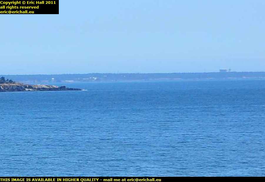
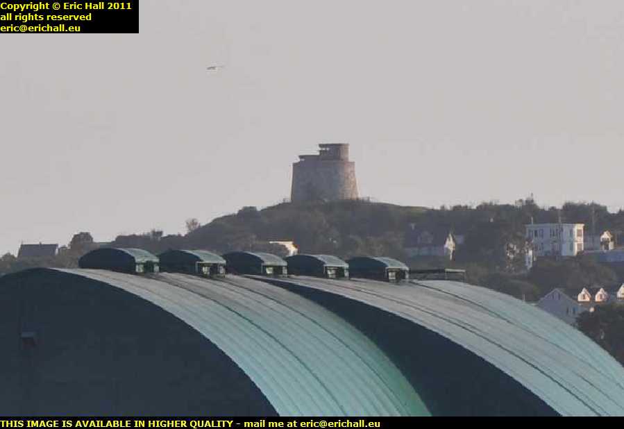
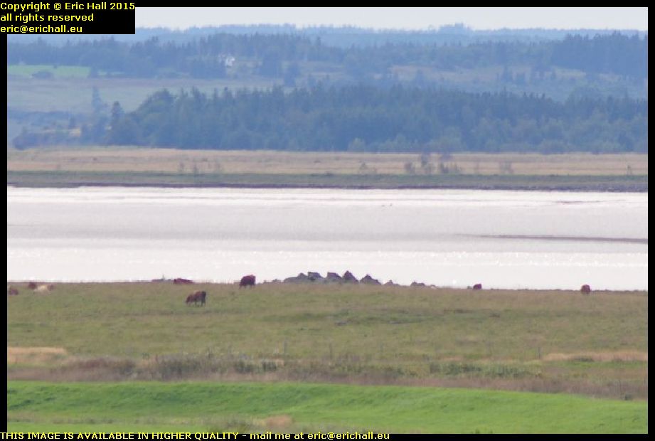 From up here on this eminence, there’s another good view – this time of an object that is just as spectacular as the fort, even though it’s much less well-known.
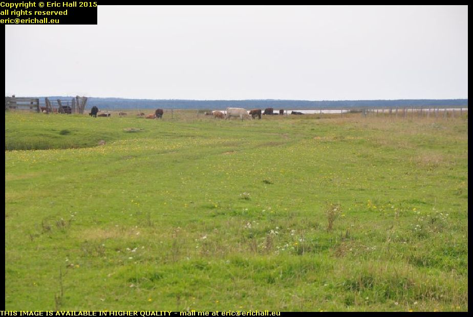
Right in the centre of the image, surrounded by cows, is the dock that was intended to the the entrance to the Chignecto Ship Railway and had this been built, it would have been a really impressive structure.
As I said, this is the narrowest part of the isthmus and if ships could find a way across it, they would save hundred of miles and several days, as well as avoid many of the risks of shipwreck, as they sailed between the Gulf of St Lawrence and the eastern seaboard of North America.
 The plan was for the ships to sail into the dock, to be raised up by a hydraulic ramp and loaded onto railway wagons, and then transported by train across the isthmus to the other side – to the dock near Tidnish that we visited in October 2010.
Unfortunately the works on the southern side of the isthmus are on private property and not able to be visited, but what we are looking at here are the earthworks that would have carried the track bed of the railway, which were completed for several miles.
Why this all went wrong was that the same technology that enabled the construction of the engineering works of the railway also enabled shipbuilders to build bigger and bigger ships – and so the railway quickly became clear that the railway would be inadequate for the task, and funds could not be raised to rebuild it to larger dimensions.
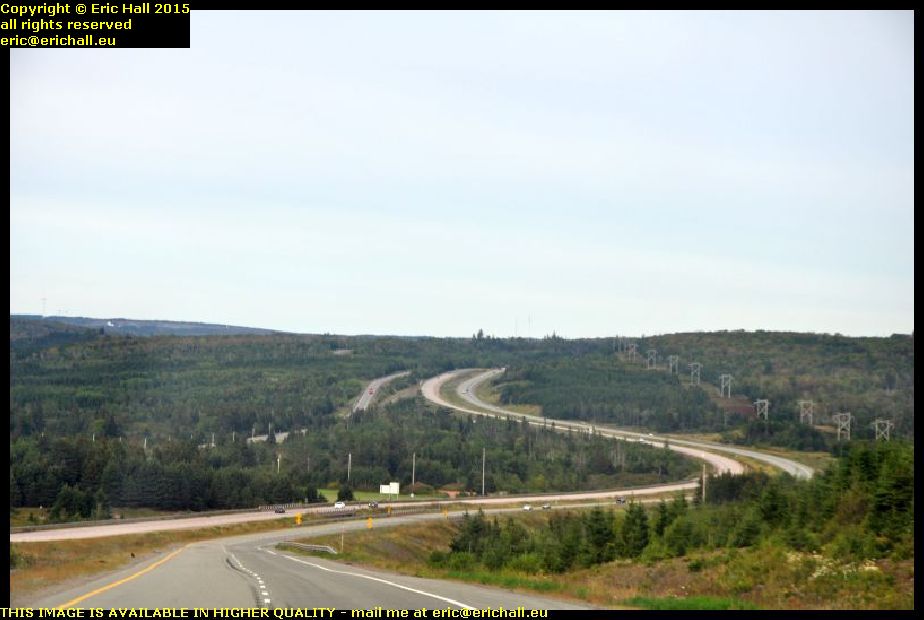 After lunch I set off down the Trans-Canada Highway through the mountains towards Antigonish. Hannah is at St F-X University there and I hadn’t seen much of her while I’ve been over here so I went to visst her.
We went out for a meal and a chat for a couple of hours, and then I hit the road again. There’s a big Irvings truck stop down at the Canso Strait and while I’m not a big fan of truck stops these days for sleeping purposes, it’s the nest place that I can think of to settle down for the night.
At least all of the facilities are there.