 And not before time either because if I stay too long in one place I put down roots and that would never do, would it?
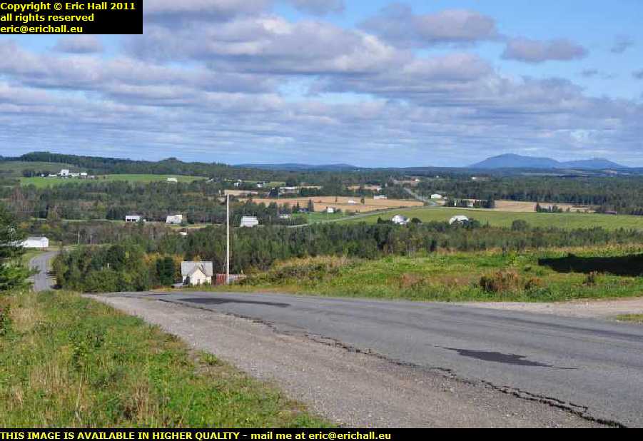
And that’s the view behind me – the plains of New Brunswick with the wind farm at Mars Hill over to the right of the photo. And my little share of Canada is on the very extreme right-hand edge of the photo, on the down slope of the mountain.
How happy am I?
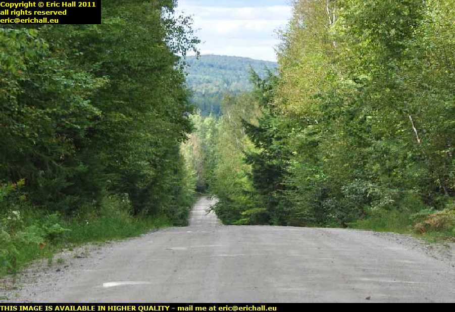 The road beyond Woodstock is fairly uneventful until I turn off onto Highway 630 and then I’m presented with this road. 58 kilometres of it too and isn’t this just like old times on the Trans-Labrador Highway?
It’s so much better going this way than going by the motorway. I’m not in any particular rush and can take my time, and quite right too. But never mind what might be on the other side of the hill – I can’t even tell what might be just around the bend
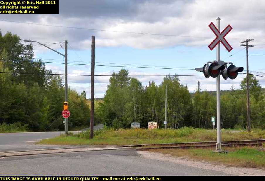 I arrive at a junction with Highway 4 which is for some reason or other not on the SatNav. The turning to the left is signposted for the USA so I must be very close to the border, so I’m where I want to be;
As for the railway line, this is probably the line that runs from Saint John to Montreal via the USA and was used quite heavily in the winter when Montreal was frozen up in the days before icebreakers and all of the produce was shipped by rail to Saint John.
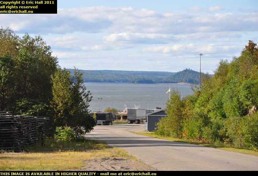 This is the Bayside wharf and ferry terminal judging by the sign. It’s private property but seeing as it’s open, I go for a wander around but there’s no-one about to ask any questions.
The drive down to the gates is quite secluded and so I’ve pencilled in a little place in the back of my mind in case I can’t find anywhere better to park up for the night. That gap in between those two trailers looks quite inviting
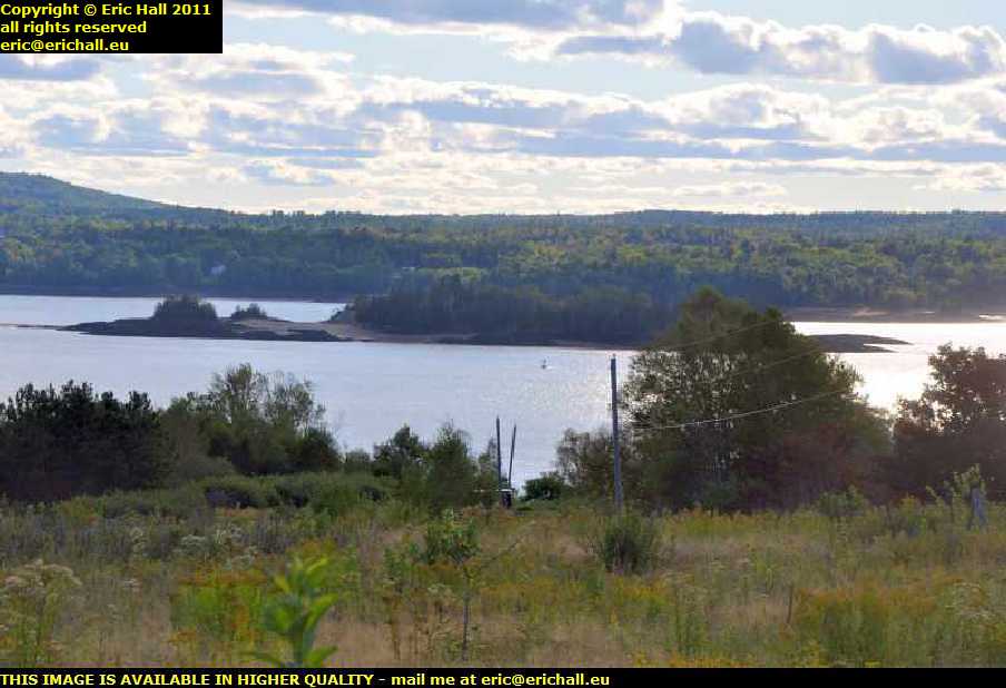 Over there is the Ile de Sainte Croix, Saint Croix Island. It’s significant in that as far as I can tell, it was the first coastal colony of the French, being settled in 1604 (all previous colonies were in the St Lawrence).
Of the 79 colonists, 35 died and so many others were close to death that they all moved away to Port Royal across the Bay of Fundy in Nova Scotia.
Ironically, Champlain described an autopsy that had been performed upon one of the deceased, and when a cemetery was discovered here fairly recently, one of the bodies uncovered had suffered the “injuries” in the post-mortem that were so well-described by Champlain.
And modern scientist, on examining the remains, concluded that most, if not all of the deaths, were due to scurvy
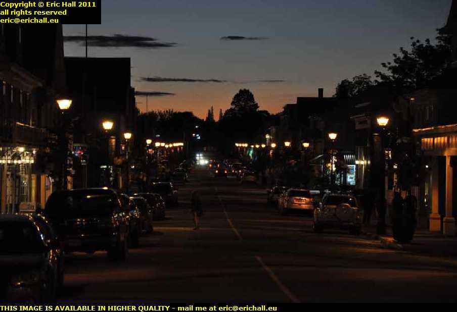 Now that I’m within touching distance of St Andrews it won’t do any harm to go for a look around, even if it the sun is setting quite quickly. Still, I can always do my best to take a photo to give you an idea of how it looks.
And I’m pretty disappointed in that there’s a 1920s type of Ford, which is probably an A-type, parked up at the side of the road and it’s too dark to take a photo of it. I hope that it will be there tomorrow.
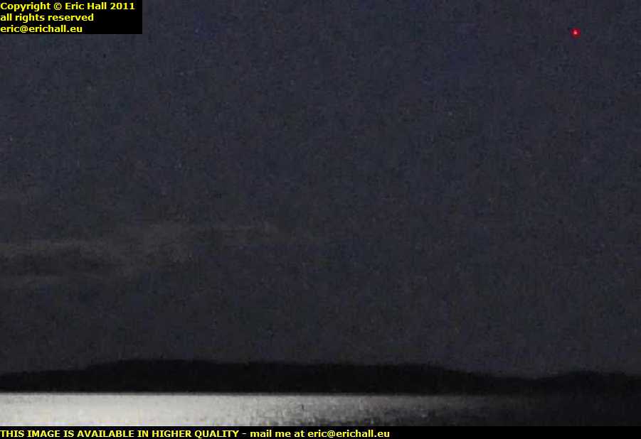 But wait a minute – whatever is this?
There’s a red light here up in the sky – in the top right-hand corner of the photo is a steady red light (otherwise it would never have come out in the photo) rather than a flashing red light that you might see from an aeroplane.
I thought that it might be a radio mast – a Loran-C or something like that, but I came back here in the morning and there was nothing that could have been my red light. So it’s a mystery.
And in the absence of a better proposition, I’ve gone back to the wharf and that’s where I’ll be staying the night.