And long after the usual waking-up time too. It seems that the battery in the European phone went flat during the night and so that was that as far as that phone was concerned. However, I couldn’t understand why the Canadian phone didn’t ring at all. Subsequent enquiries revealed that I can’t find it anywhere. I wonder if I have left it at the motel where I stayed the previous evening. It’s just like me to do something like that, isn’t it?
But last night I did manage to wake up last night after crashing out at about 17:00. It was just long enough to cook tea and edit the photos, and then I was off again, flat out once more. I must have been tired yesterday.
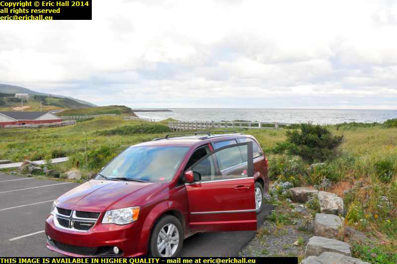 So having recovered from my exertions, I made myself a nice hot coffee and sat drinking it, looking at the sea for a while. You have to admit that I chose a superb spot for last night.
And I was feeling much better than the weather too. It’s all grey and overcast this morning. There are some right heavy dark clouds and I reckon that we are going to have a rainstorm before we’re much older. There is however a bit of blue sky out to sea. Let’s see if the wind blows it back our way.
I also had to fill up with fuel too. Well, I didn’t, but I’m on a little more than a quarter-tank and I’ve no idea what it might be like for fuel further on along the road. 136.4 cents per litre too – that seems to be the going rate around here. That’s a portent of things to come, isn’t it?
A few miles out of Inverness we turn onto Highway 219 to go around the top of the island. That is the road that I’ve been aiming for. If you think that the route has been picturesque to date, just wait until we’re driving along here.
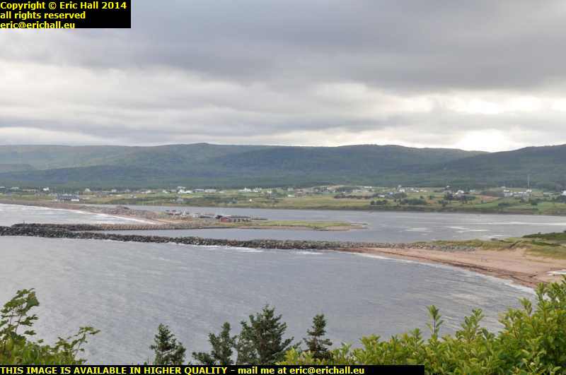 This is probably one of the most beautiful views in the Maritimes, or at least it would be if the weather were to brighten up. This is Margaree Harbour, a few miles north of Inverness.
Crossing over the river at the bottom of the hill is a new bridge – I don’t remember this bridge when I was around here in 2003 and I don’t remember what was here in its place.
And here’s a surprise. It’s starting to rain.
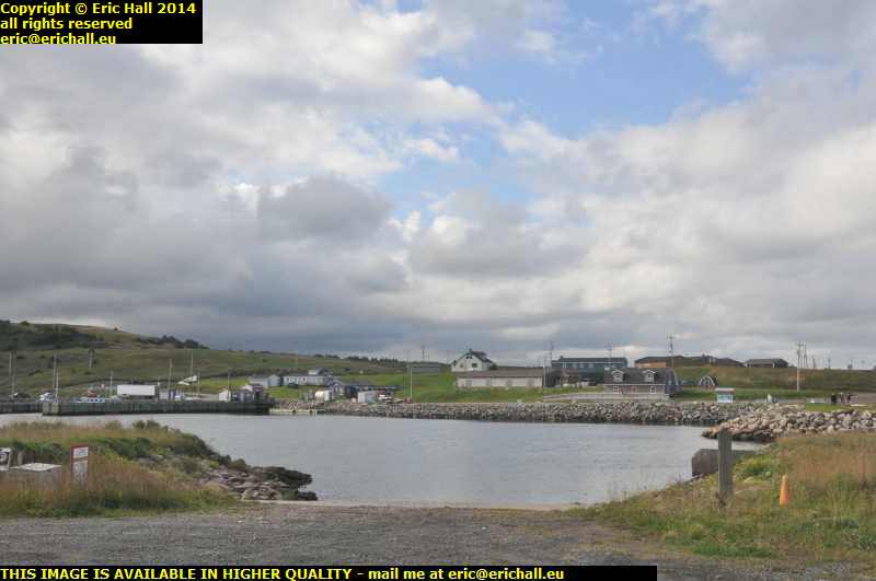 This is the village of Grand Etang, and its harbour. The coast has plenty of these small harbours, a reminder of the days when everyone earned his living from the sea and there was no road communication between the village and the mainland.
And my wind turbine from 2003 is right behind where I’m standing, and still working too. I still don’t understand why they don’t go in for wind turbines in New Brunswick. It seems totally bizarre to me.
At Cheticamp there was a Tim Horton’s with a reliable internet connection so that I was able to update everything. I contacted Hannah and she contacted the motel from the other night and, sure enough, the Bane of Britain did indeed leave his mobile phone there. Hannah has set off to rescue it.
The place was decked out in advertising for this new Dark Roast coffee blend, and all of the fibre cups were plastered with the advertising. And so Yours Truly asked for a dark roast coffee, only to be told that “we don’t have it yet. The machine hasn’t arrived”.
Just after here we find ourselves on the Cabot Trail and in the Cape Breton Highlands National Park. And a whopping $7:40 to drive around it too, even just for the day but she seems to have given me the seniors discount again as I’ve been charged a mere $6:40.
This is where I want to be and I shall have a good time here, especially as the weather has now improved and we are having a beautiful day.
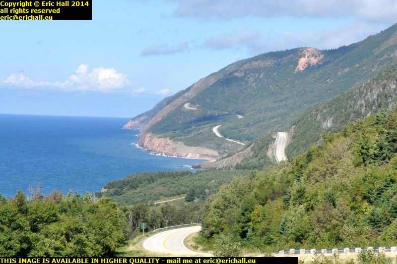 You can see the road that i’ll be driving in a few minutes, climbing away over the headlands along the coast.
It’s one of the most beautiful places that I have visited. But just a word of warning. I’m only going to post a couple of photo here out of the hundreds that I took, because there isn’t room for them all.
And I could have taken thousands more had there been a place to park safely.
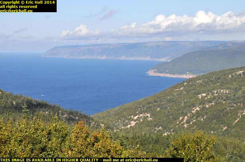 From the top of French Mountain there’s one of the best views in the whole of Canada – all away along the coast to the tip of Cape Breton Island to Meat Cove, the farthest northernmost point of the island.
And here I fell in with a couple from Rhode Island. We had a very lengthy chat about wind turbines and the like. But I wasn’t impressed with the notes from the Canadian Tourist Board –
“No-one knows who first explored these waters – probably Mikmac and other native cultures fished and hunted here long before Jacques Cartier’s voyage of 1534”.
There was nothing about Cabot. After all, this is called the Cabot Trail and a place just along here is claimed to be his landing site. And why is there nothing about the Norse? Not a single mention. It’s quite depressing.
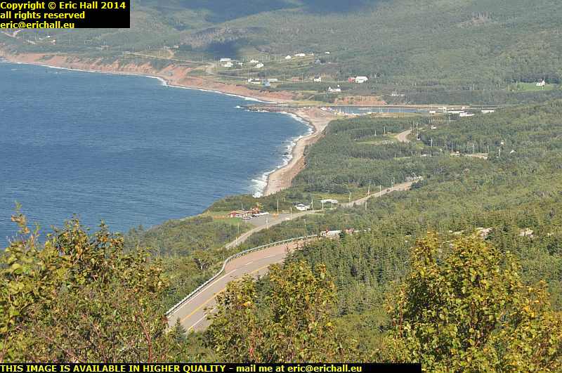 A little further along the road is a quite amazing descent into the village of Pleasant Bay. Normally I let the car run down hills under its own steam, but that wasn’t the right course of action to take here. I might have made the first bend but not the second or subsequent.
And the village certainly lived up to its name – I’ll tell you that. But there again everything was stunningly beautiful around here.
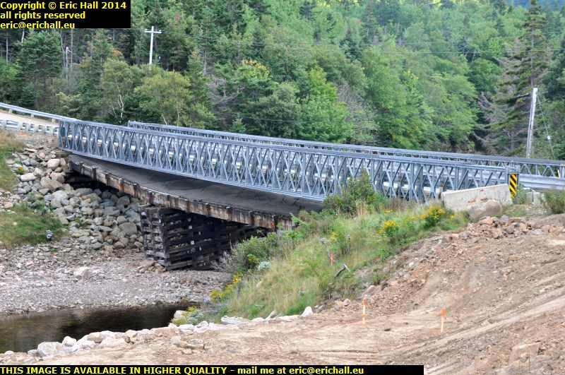 We had a slight problem on the way out to Meat Cove. A set of road works that delayed us for quite some considerable time.
It seems that the old bridge has collapsed and a temporary bailey bridge has been installed. If you look carefully, you’ll see the old bridge underneath the current one. Meanwhile, major roadworks are under way to build a more permanent bridge and this is what is holding up all of the traffic. The old bridge clearly wasn’t holding anything up.
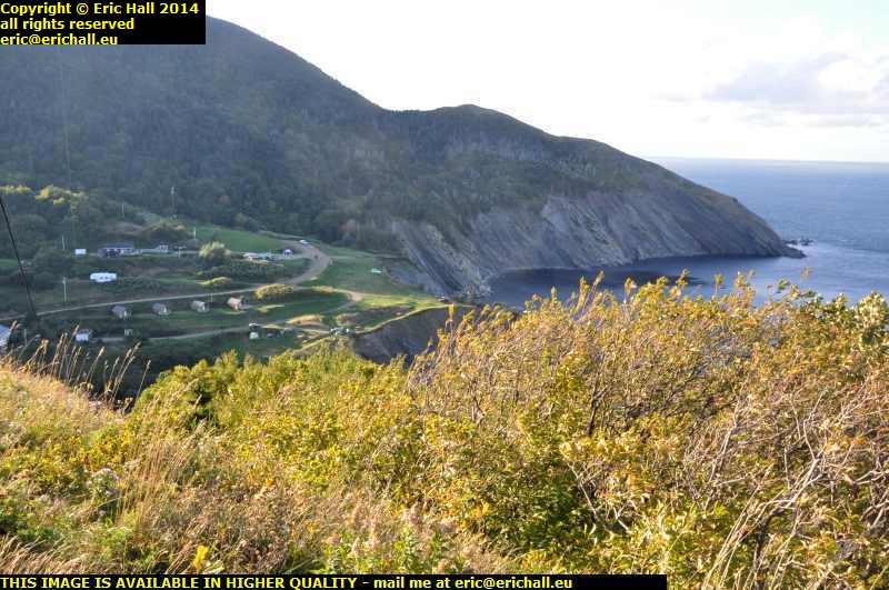 Out at Meat Cove I stopped to recreate the photo that I took in 2003 but I was amazed at the difference in the scenery over the last 11 years. It’s totally different today.
There were quite a lot of tourists around here too – maybe the camp site had something to do with that, and I was tempted to book myself in here, but I had my eye on another place that looked even more suitable.
But more of this tomorrow.