… a much better sleep last night. There was a little movement around from a few of my fellow guests but nothing that seriously disturbed me.
Mind you, talking about being disturbed, I was disturbed enough on my travels though. We were walking through Crewe around Manor Way, a few of us, and my mother was there with us. We ended up for some reason going down Birchin Lane in Nantwich and my mother suddenly had one of her “turns”. She crept up to a semi-detached house and loitered around the door – and when the old woman came out stalked her for a while before pouncing. She succeeded in persuading this woman that they had been girls together in 1939, although my mother hadn’t visited this area by 1939. But then, that kind of thing never worried my mother. She lived on a different planet to the rest of us.
Later, I was helping someone move house. We were down in the cellar sorting out stuff to go in the back of my red Cortina estate to move, so some stuff we were taking and other stuff, which the girl who owned the house here could take in her car, we left. A while later I was back with another woman and she was having a look around, seeing the nice wooded floor but a load of car tyres cut horizontally in half and embedded in the wooden floor stopped things touching the wall. She was horrified by this but I explained that they were only temporary and they would be moved once we were straightened out.
The landlady wasn’t there at breakfast, but I had company in the shape of an Indian couple and their little boy. We had quite a chat.
Having packed Strider, I checked his oil, put 5 litres of fuel in out of a can (just enough to keep him going) and set off for town.
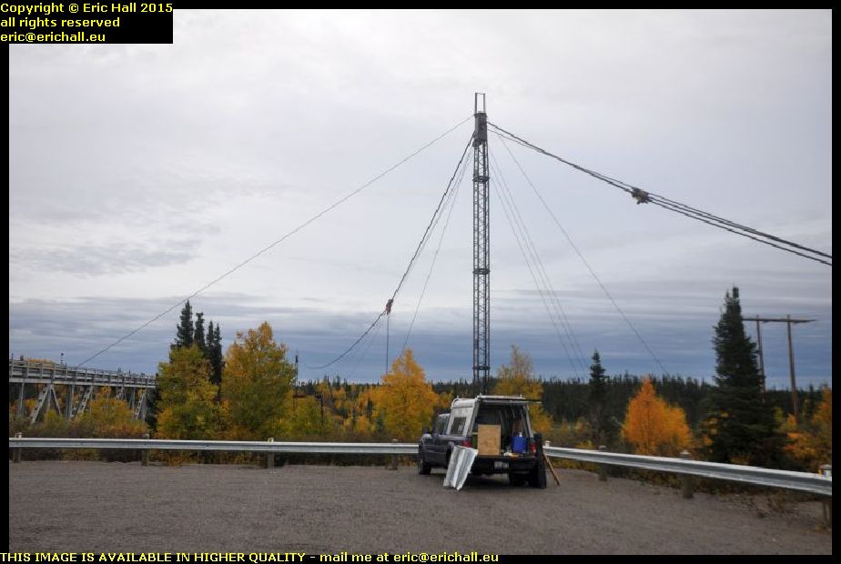
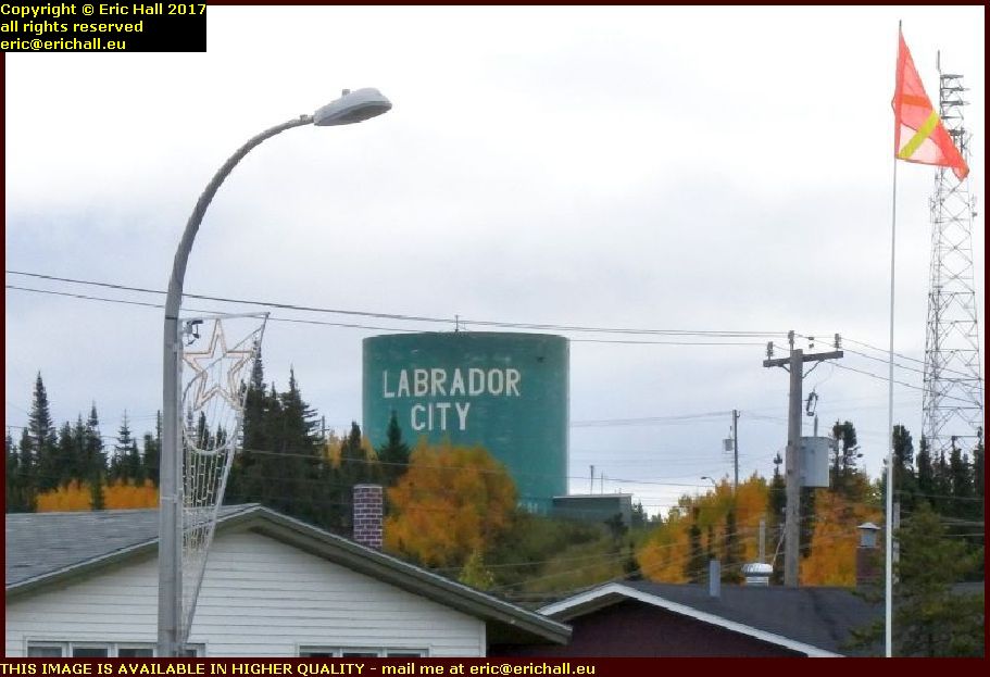 Up to the Walmart car park, not for shopping, but for the obligatory photograph.
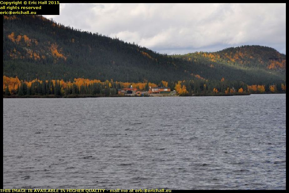
This is one that we always seem to be taking – of the water tower here in Labrador City. It goes to prove that I was actually here
Not all here though, as many people have commented in the past.
 And in the quest for the perfect pitch, as you might say, here’s yet another football pitch.
Even Labrador City can boast a football pitch these days, and that’s certainly progress.
We seemed to have had all kinds of difficulties finding football pitches in Canada in the past and I remember my reaction when I found my first one. Now we seem to be finding them everywhere.
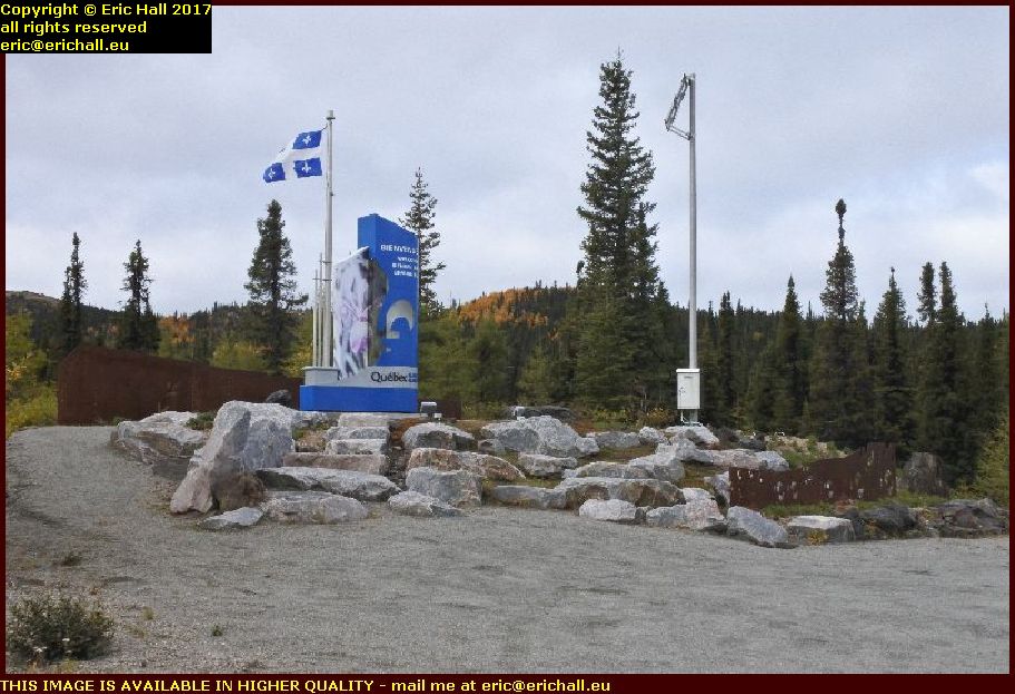 About 20 kilometres outside the town is the border between Labrador and Quebec.
And it always makes me smile because on the Labrador side, we have the Canadian flag, the Newfoundland and Labrador flag, the Union Jack and the Labrador flag.
Here on the Quebec side, there is just the Quebec flag.
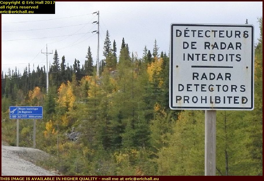 You’ve all heard all of these stories of this Quebec “monolingual” policy, and you’ve all seen enough evidence to show that it’s just window dressing and sabre-rattling by the Quebec Government – nothing more than that.
Here’s an official Quebec Government road sign about 100 metres inside the Quebec border.
That’s not monolingual, of course, and it tells you all that you need to know about this “monolingual” policy.
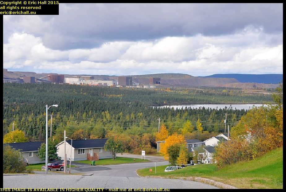
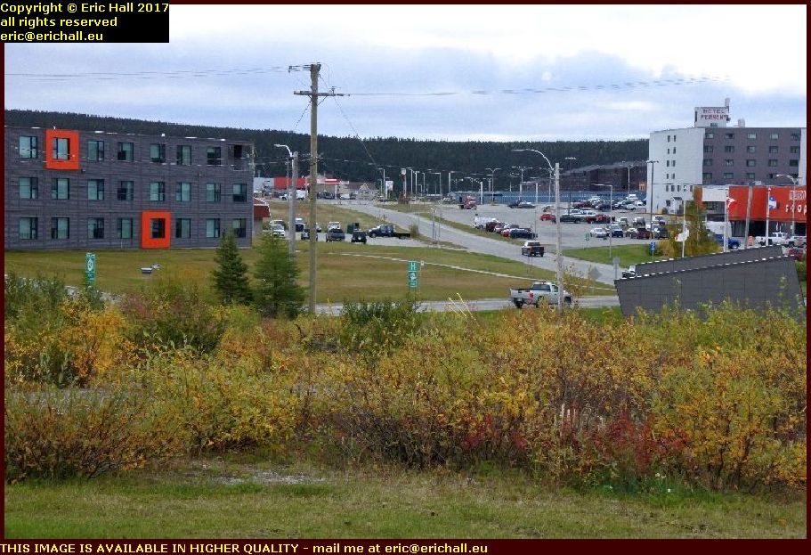 We go into the town of Fermont for fuel. It’s about 2O kms closer to Baie Comeau than Labrador City, and that’s extremely important.
Fermont is a mining town created to house the employees of the huge Mont Wright iron mine just a couple of miles down the road.
and its claim to fame is that I reckon that it’s the coldest place on earth, and totally windswept. It’s punishment to stand outside here
 If you look in the background to the left and see the light brown building, that’s where everything happens in Fermont.
All of the shops and offices are in there, and there are apartments above. That means that the people don’t have to step outside in order to carry out their activities.
Of course, though, the town has considerably expanded since that was built.
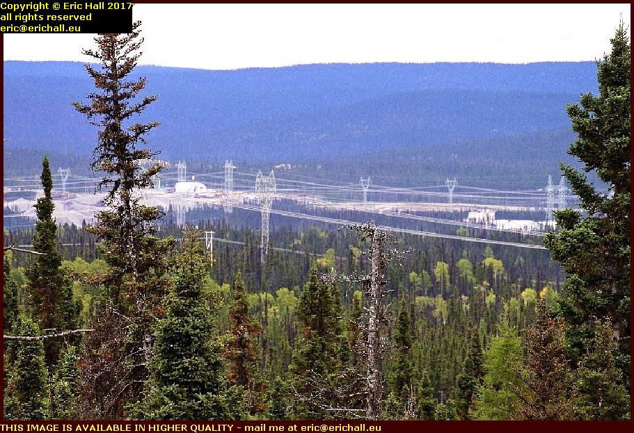
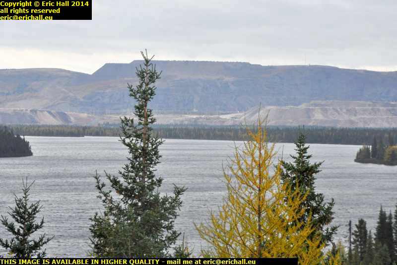
 I mentioned that Fermont was a company town for the workers at the huge Mont Wright iron mine.
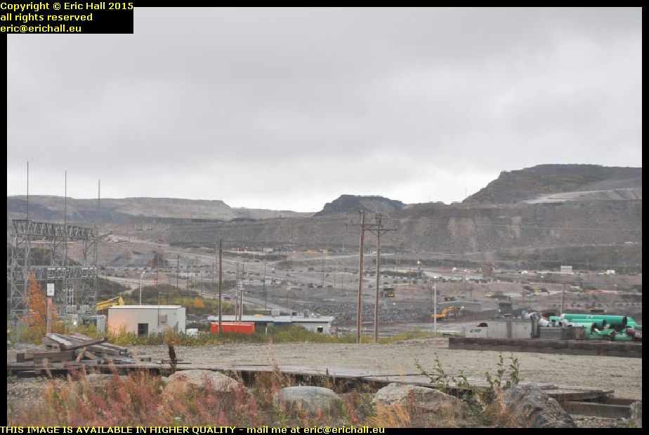
And if you are looking for “Mont Wright” – that’s it, that hole in the ground. So much ore has been extraced that the mountain has gone and they are now working in the surrounding areas.
Originally owned by the Quebec Cartier Mining Company, it’s now operated by Arcelor Mittal, the world’s biggest steel producer.
 The mine here covers an area of 24km² and has enough ore to last until at least 2045.
The ore is taken to the crushing plant that you can see in the background.
The ore contains about 38% of iron concentrate and when the concentrate is separated, it’s shipped to Sept Iles on the company’s railway line for shipping onwards.
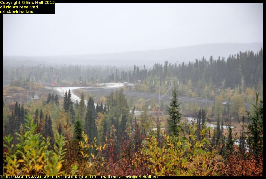
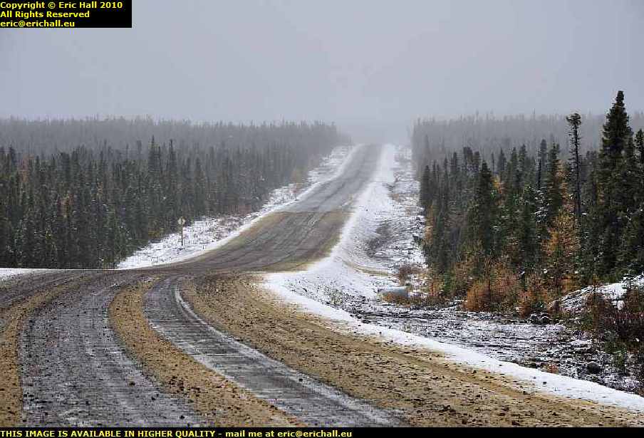
 There’s only one way to come here by road, and that’s on Highway 389 from Baie-Comeau.
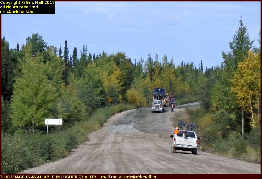
It’s 564 kilometres in length, and I do have to say that there’s about 200 kilometres – in two separate stretches – that ranks as about the worst road in the world.
You wouldn’t believe it possible, given the traffic that is obliged to come up here.
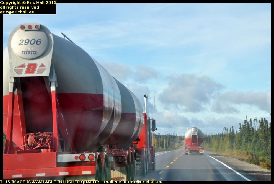
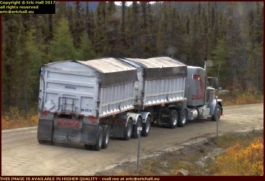 And furthermore, according to Provincial legislation, road trains are permitted to use the Highway too.
That’s all very well, but it’s not such good news if you happen to be stuck behind one. They bowl along pretty well on the asphalt highway, but on these roads they can hardly move at all.
and the amount of dust and stones that they throw up is astonishing
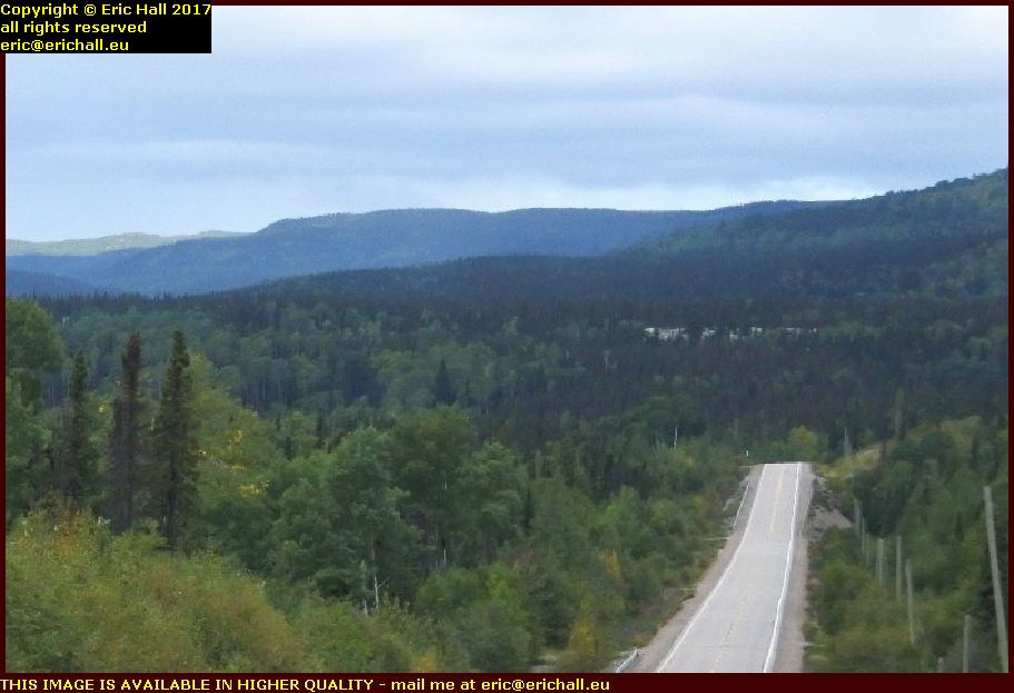
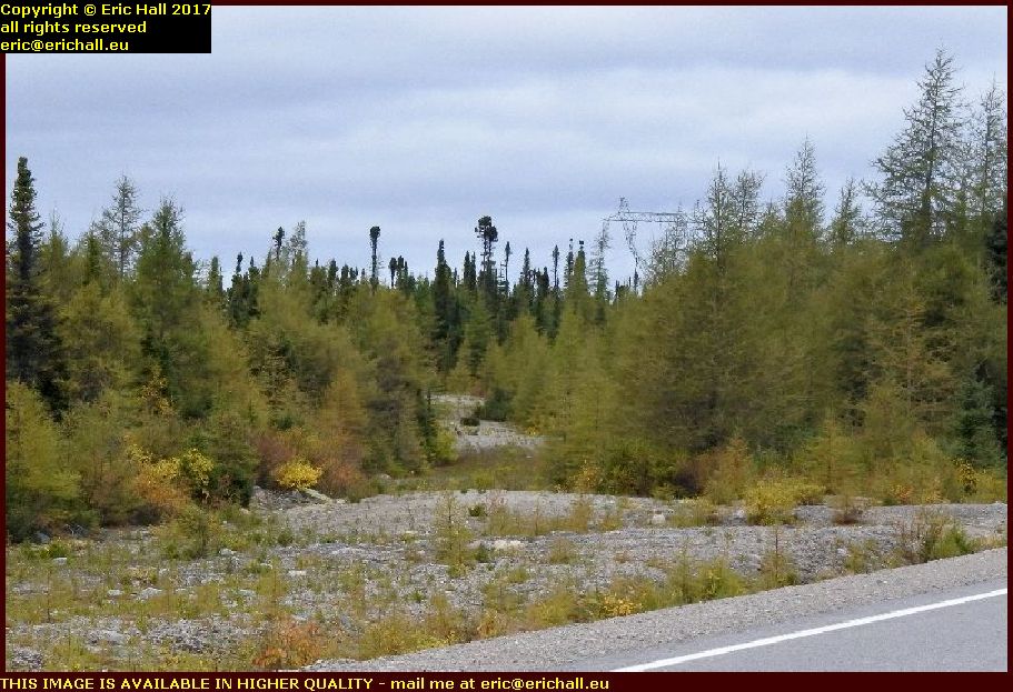
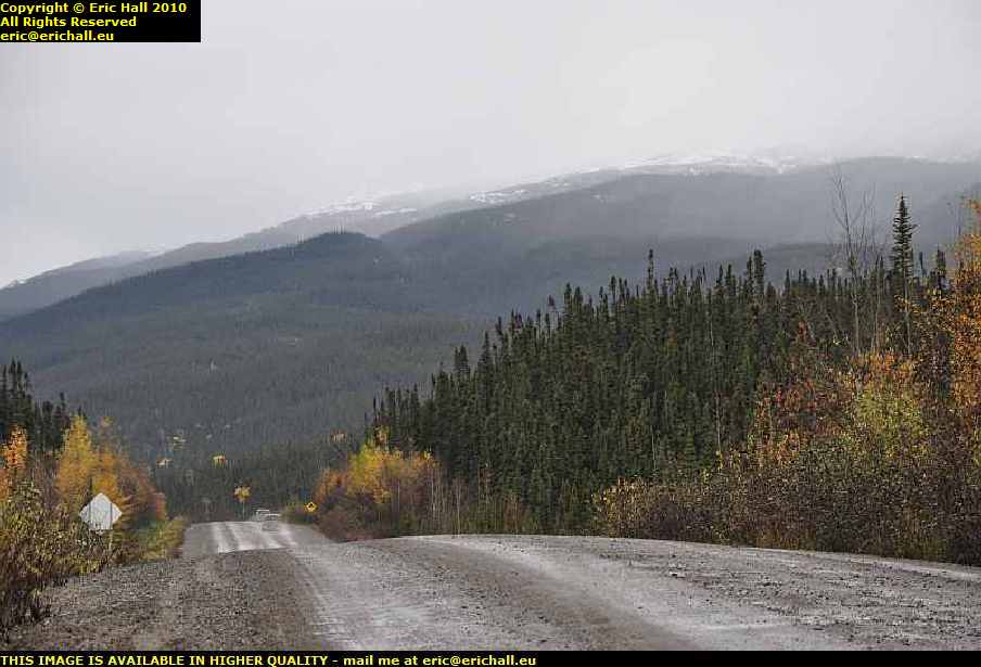
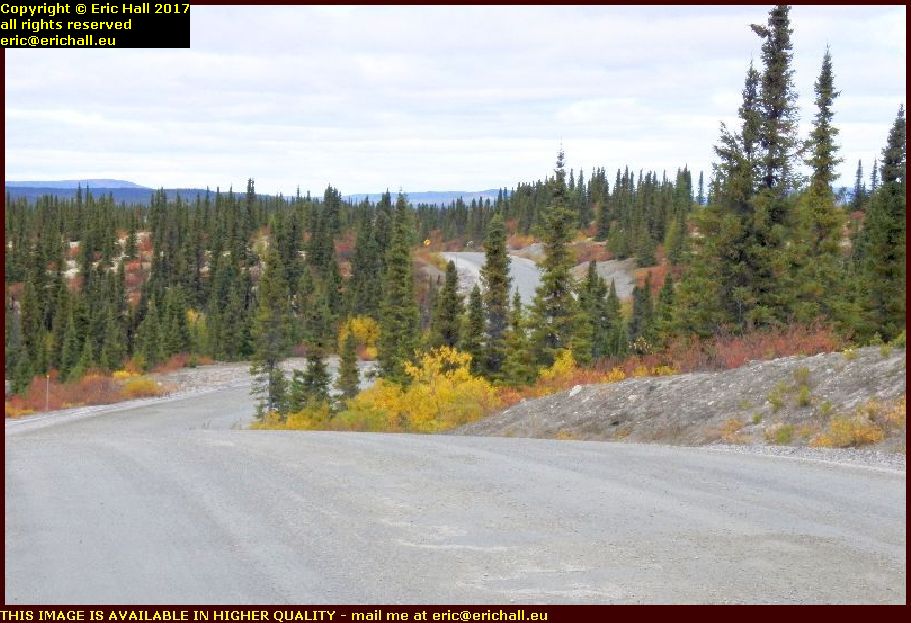 Having said all of that about the road and how miserable is its condition, it’s still magnificent all the same.
And in the right weather and in the right vehicle such as Strider it’s quite a beautiful road to drive.
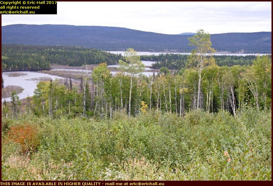
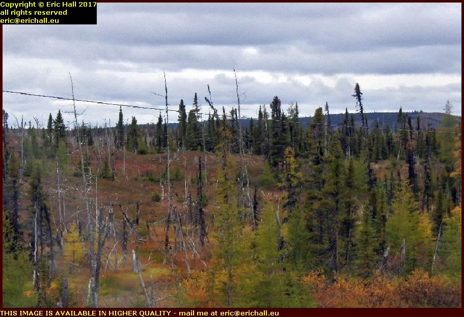
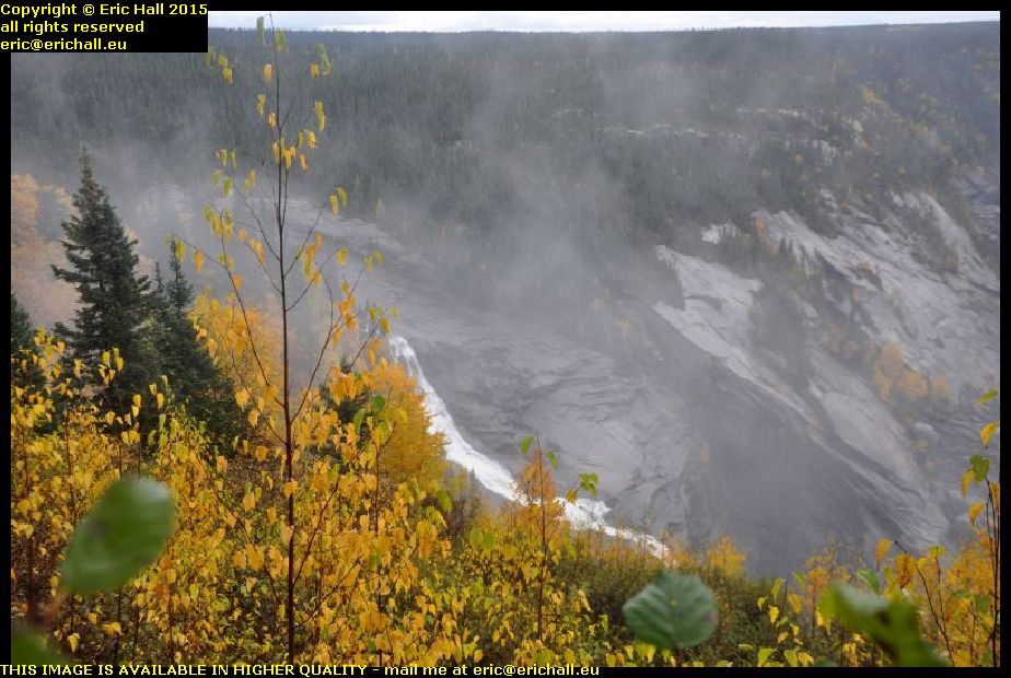
Even though the autumn has yet to arrive, the colours of the plants up here in the Pays d’En Haut are superb all the same.
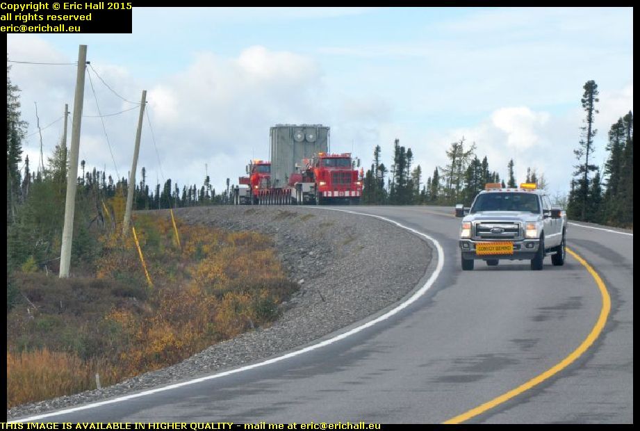
 Over the last couple of years, the iron ore mine at Fire Lake has restarted full production.
The ore-bearing rock is blasted out, loaded into the dumpers and tipped into wagons pulled by the company’s locomotives.
These take it to the crusher up the road at Mont Wright where the concentrate is extracted. The ore here is said to be even richer than the ore at Mont Wright.
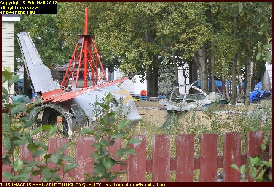
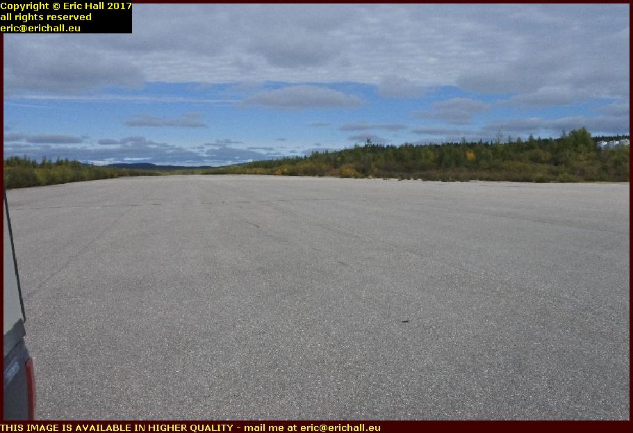 Next stop is the abandoned town of Gagnon – and in particular, the airstrip.
The reason why the airport is of interest is that the town was abandoned in 1985 when the iron mine was exhausted and yet the airstrip is in pristine condition with not a weed growing anywhere.
Given the speed at which arctic willow grows, it’s clear that someone is maintaining this airport in this condition,
but for why I really don’t know.
But it’s certainly weird.
 Anything that you will ever read about the town will tell you that all that remains of the town is the highway and the airstrip.
That, of course, is total nonsense. Someone probably drove through here quickly without stopping and made a brief note.
And everyone else ever since has done a simple “copy/paste” of the original comments without ever taking the trouble to check
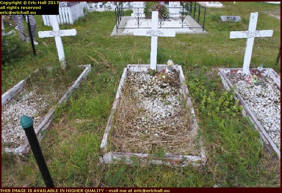
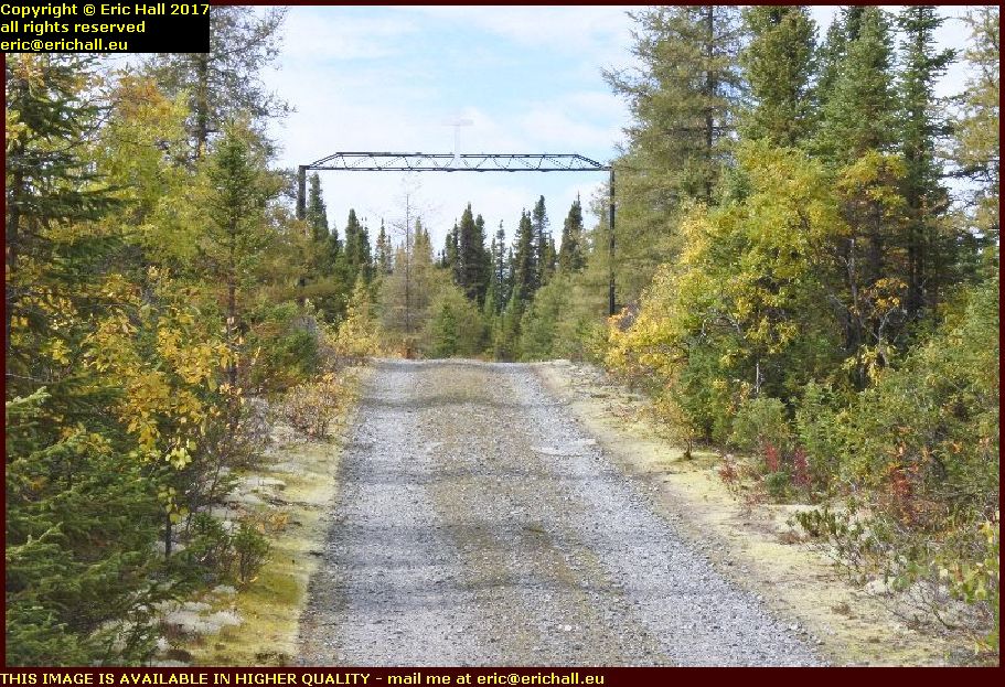
 Regular readers of this rubbish will recall that we have found the cemetery – which despite whatever you read, is still extant.
We always pass by to pay our respects to the inhabitants, because it’s quite evident that no-one else ever comes here to pay their respects.
As I have said, everyone else doesn’t even know that the cemetery here at Gagnon still exists.
Last time that we were here we noticed the small graves outside the precincts of the cemetery, and a list of burials marked anonyme.
You may remember that I speculated that they might be the graves of unbaptised children
 Having a bit of a rummage around, I found a couple of headstones in this part of the cemetery.
They follow the lines of this tombstone here – a baby born and died on the same day in 1969. It seems that I may well be right in my supposition.
But it’s astonishing that there are so many of these anonyme graves. I reckon that it’s not far short of half of them.
 But I have to laugh at the dual carriageway here. It’s the only section of dual carriageway in the entire length of Highway 389.
The irony is that it was built for the town of Gagnon long before Highway 389 was ever proposed, and by the time the Highway arrived here, the town had been abandoned for several years.
And despite it being asphalted, it’s probably worse than some of the dirt sections of road.
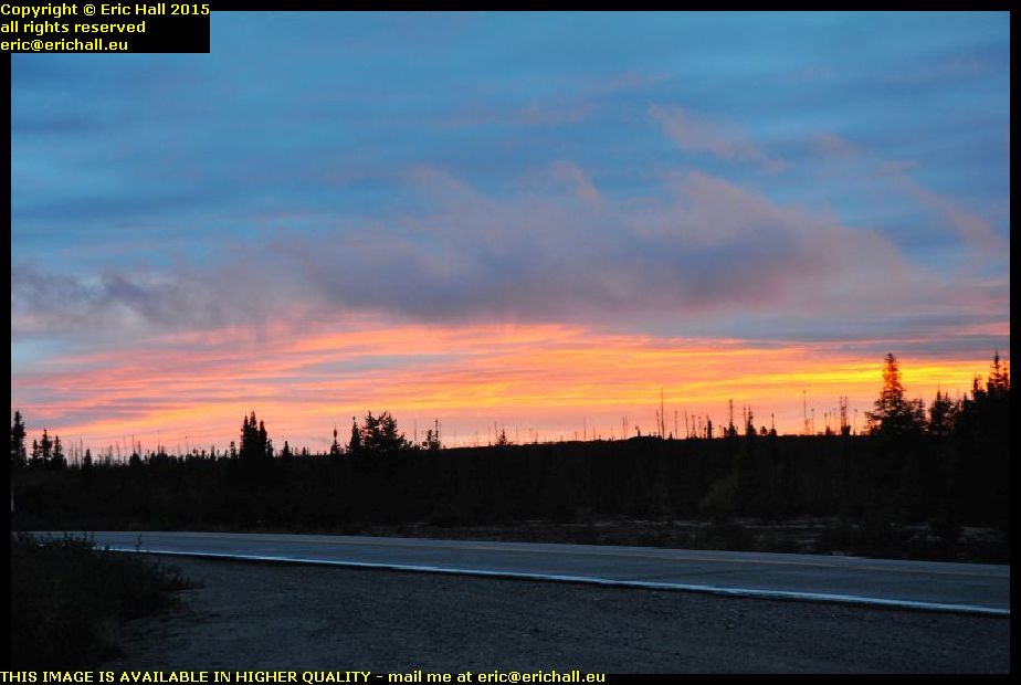
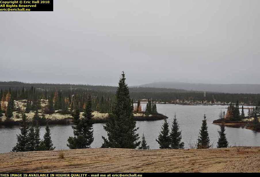
 I find a beautiful place to stop and eat my lunchtime butties.
Being Pisces I have to be close to water and this will do me fine – overlooking one of the thousands of rivers that thread their way through Upper Quebec – the Pays d’En Haut.
And with the telephoto lens, I can take a good photograph of it stretching away into the distance.
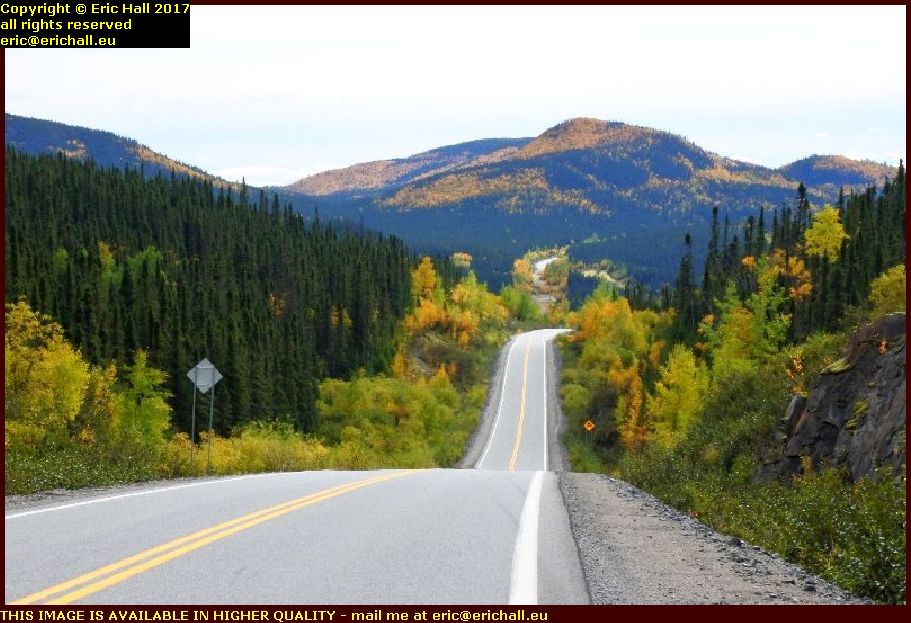 Back on the road again and I intend to make it more-or-less non-stop to Baie Comeau.
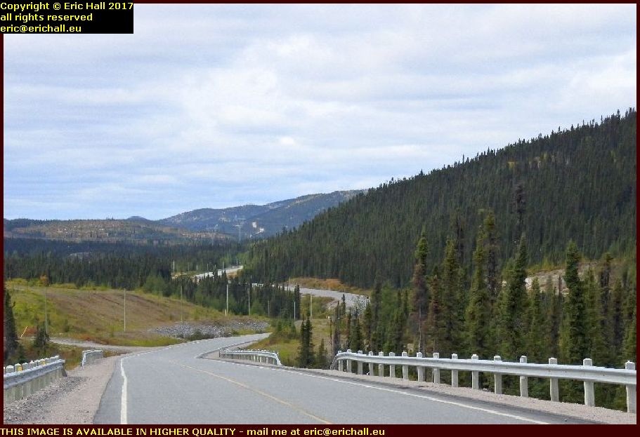
Our road threads through the hills of Northern Quebec in the early autumn just as the leaves are changing colour.
I could show you dozens of photographs of the road, but just one will suffice. You’ll need to imagine the rest of them, because they are all as beautiful as this one.
 Mind you, it might not look like this for much longer – the road, I mean.
As you can see, it’s not just a maintenance crew that we have here but they are doing some serious reconstruction.
And a little later on I encountered a lorry coming my way with an asphalt layer on the back. THat can only mean one thing …
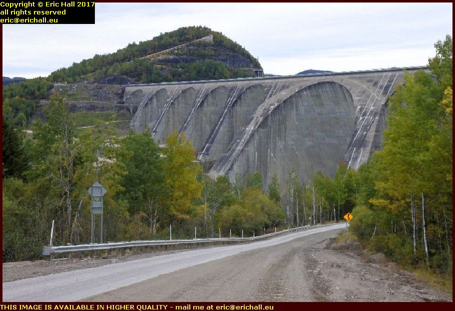 We have to have a photo of the dam at Manic 5 – the 5th damo the river Manicouagan – to signal that we have arrived.
It’s not actually the 5th one but the fourth. Manic 4 was never built because they discovered that the lake behind Manic 3 would flood the potential site.
And it’s not officially called Manic 5 either but the Daniel Johnson Dam. He was the Government Minister sent to open it but he died in his sleep in the motel the night before the opening ceremony.
We push on and arrive in Vallant.
 Regular readers of this rubbish will recall that when we came past in 2010 it was a ghost town. In 2014 it was slowly crawling awake.
In 2015 however there were dozens of trailer homes here for the work crews refurbishing the dams nearby.
But today, we have what look like permanent barracks in place of the trailers. It looks as if the place is settling down to some kind of permanence.
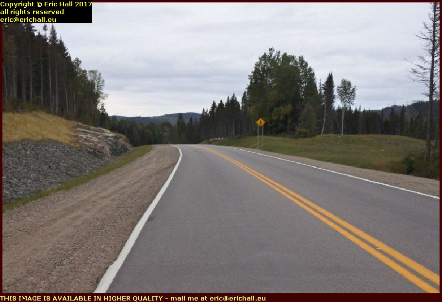 You might remember this road from last time too.
There was a very bad bend just here but in 2015 a work crew was busy blasting away a cutting through a rocky outcrop just here.
Today, we have a modern, high-speed section of the Highway. It’ll all look like this in 5 years time, I reckon.
At 564.3 kms the fuel warning light comes on on Strider. He’s done really well – more than 100 kms more than in previous years thanks to the rebuilt overdrive unit, and the road hasn’t been easy either as you can see.
I pull over and tip the rest of the fuel out of the can into his tank – about 12 litres I reckon, and that’s plenty to take me to Baie Comeau.
Having had motel “issues” in the past in Baie Comeau I drive through the town and out towards Quebec. In the past I’d seen a cheap motel right on the edge of town and so I went to give it a try.
After all of my vicissitudes with accommodation out in Labrador, this at least is a respectable price.
And I can use the slow cooker to make tea but I end up not eating it as I forgot it while I was talking to someone and the pasta congealed.
But a shower, a clothes wash and an Early night will set me up really well. I deserve it.